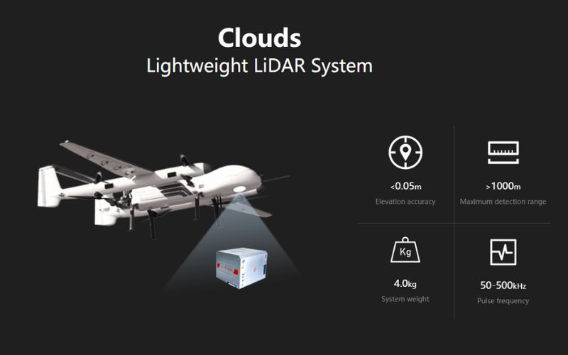
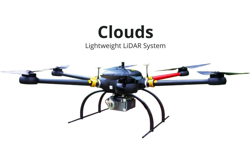
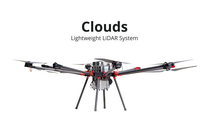
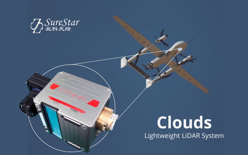
CLOUDS
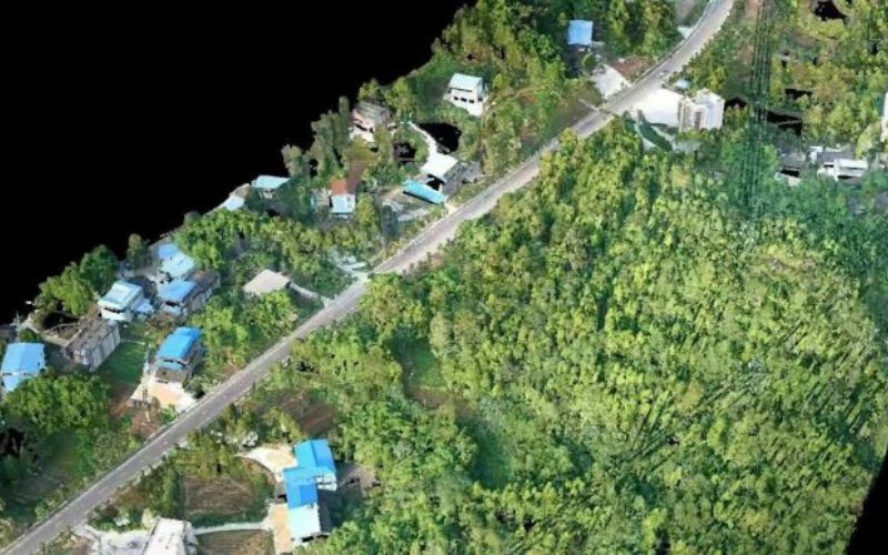
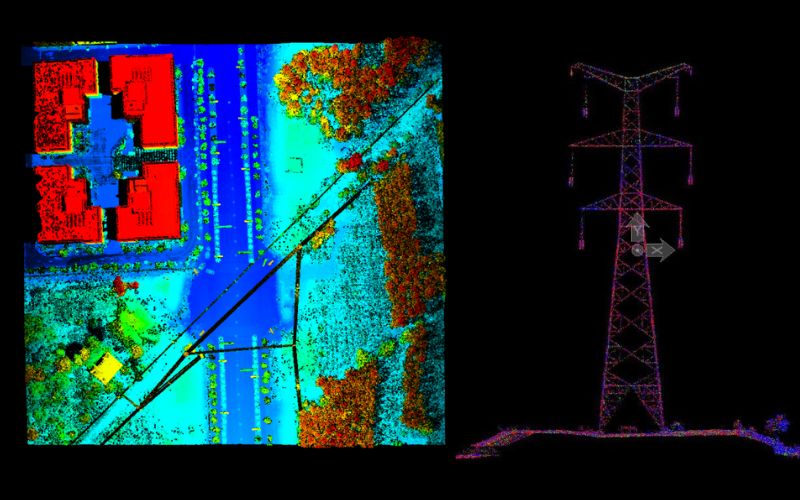
Clouds is a complete LiDAR system powered by a class 1 laser, utilizing a highly accurate POS system and ready for integration with digital camera sensors. The Clouds system is small in size and light in weight. At 4.8kg, it is the lightest system in its class and can be mounted to most flight platforms (UAV, Fixed wing & Helicopter). The Clouds system features fast data acquisition rates, precision and long range acquisition. It is perfectly suited for 3D city modeling, transmission line inspection, disaster assessment, flood monitoring, geological deformation, engineering analysis and forestry surveys.
Specification
Highly integrated design gives the Clouds LiDAR its performance, stability and portability.
- 1
1000m Maximum AGL
• 100 degree FOV
• 10mm laser precision
- 2
5cm vertical accuracy
• Lightest in class weight 4.8KG
• 600kHz (600,000 points per second fired to the ground)
- 3
Parallel scan pattern (even point distribution)
• All processing software included with system - 4