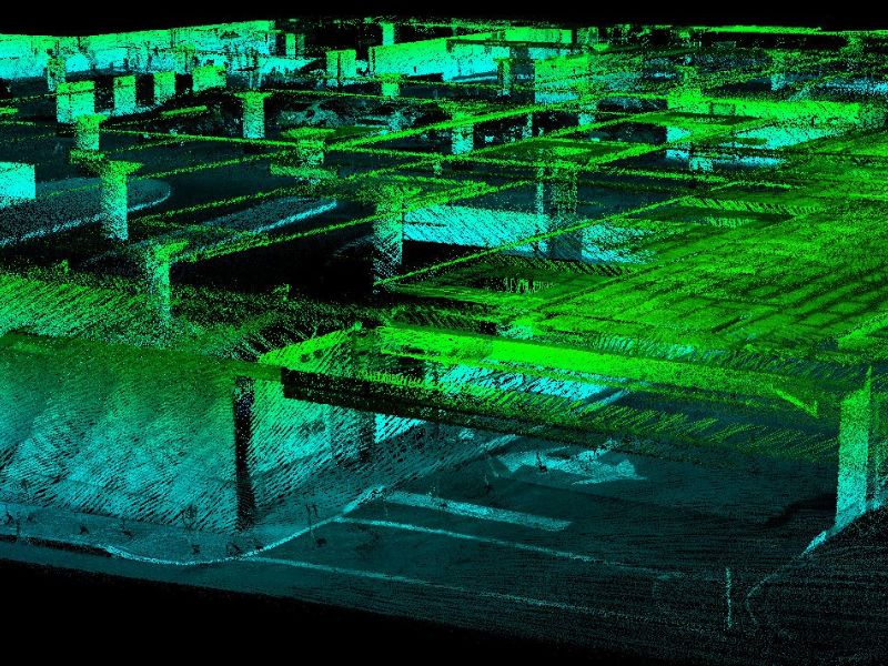
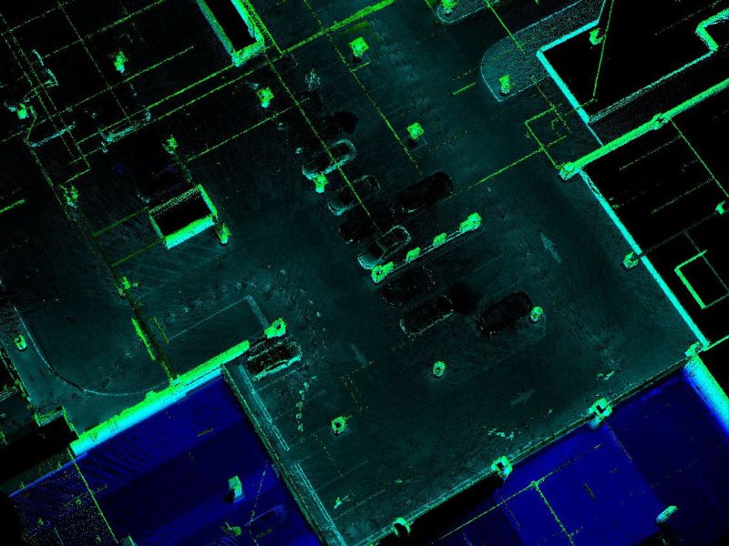
Indoor / underground space digitizing
Tunnels, subway corridors and subway parking lots
Indoor/underground space digitizing with poor GPS signal
The rapid development of real estate construction did the digitization of urban indoor underground space is increasingly valued by industry officials.
To realize the three-dimensional digitization of indoor / underground space, build a three-dimensional city and provide scientific and technological support for the rational development of urban subway space resources has become one of the most effective measures to solve urban problems.
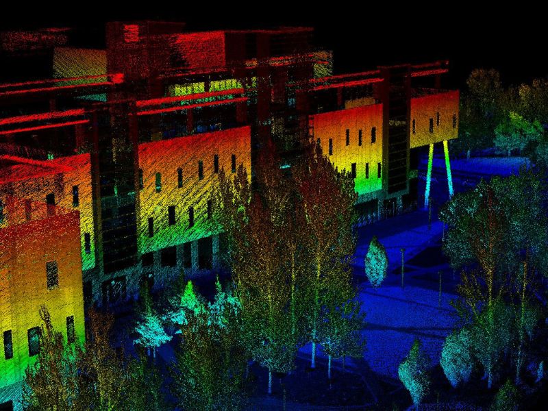
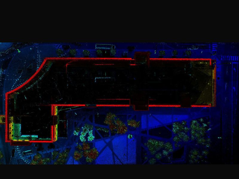
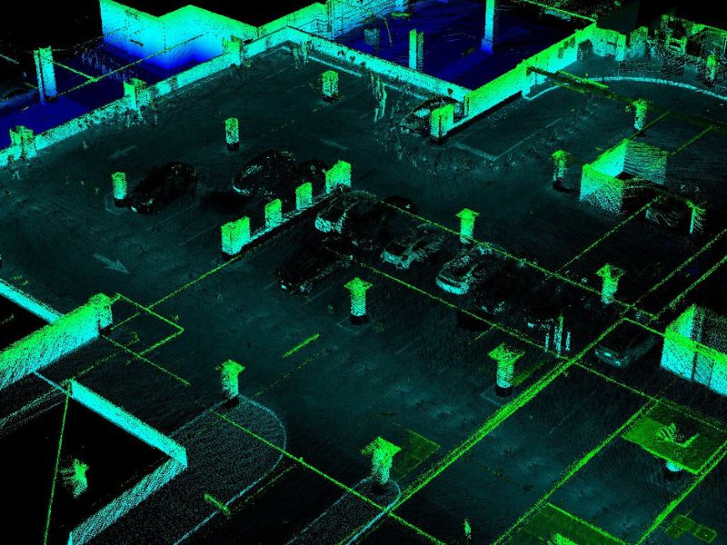
The poor visibility and complex structure of the indoor / underground spaces make it difficult to use conventional instruments to collect data during 3D modeling.
3D SLAM scanning technology uses non-contact measurement methods to accurately obtain the spatial geometric information of the measured object, and the dense point cloud inside this indoor / undergroud spaces.
The data can quickly reconstruct the 3D model of the object, accurately measure every corner of the underground garage, and realize the precise positioning inside the parking lot, or any indoor / underground space.
SLAM technology can quickly obtain the real-time subterranean space environment, effectively solve the problem of low efficiency of static 3D scanners, and is widely used in areas without GNSS signals, such as indoor / underground spaces of shopping malls and other scenarios.
Please contact us for more details about this solution and about more information on purchasing the equipment we sell for these services.
Project Gallery
Get A Quote Today
If you would like to receive a quote for one of our products, a quote for any of our services or to find out how we can help you find a solution for your company, call us or send us an email, or simply contact us by leaving the following