Our Team

At AGI we have the qualified technical team to execute your project to the highest quality standards

Our background

Founded in 2018, Altitude Geospatial Inc (AGI) is a Canadian owned consulting company and service provider that facilitates clients around the world. AGI was founded to fill the void between manufacturers and users of laser and imaging instruments. Altitude Geospatial provides a comprehensive solution for airborne, mobile, and terrestrial data collections, data processing services, technical services, sales, and consulting in the areas of Imaging, GNSS, Laser Scanners, UAS and Software.

“Facilitates clients around the world”

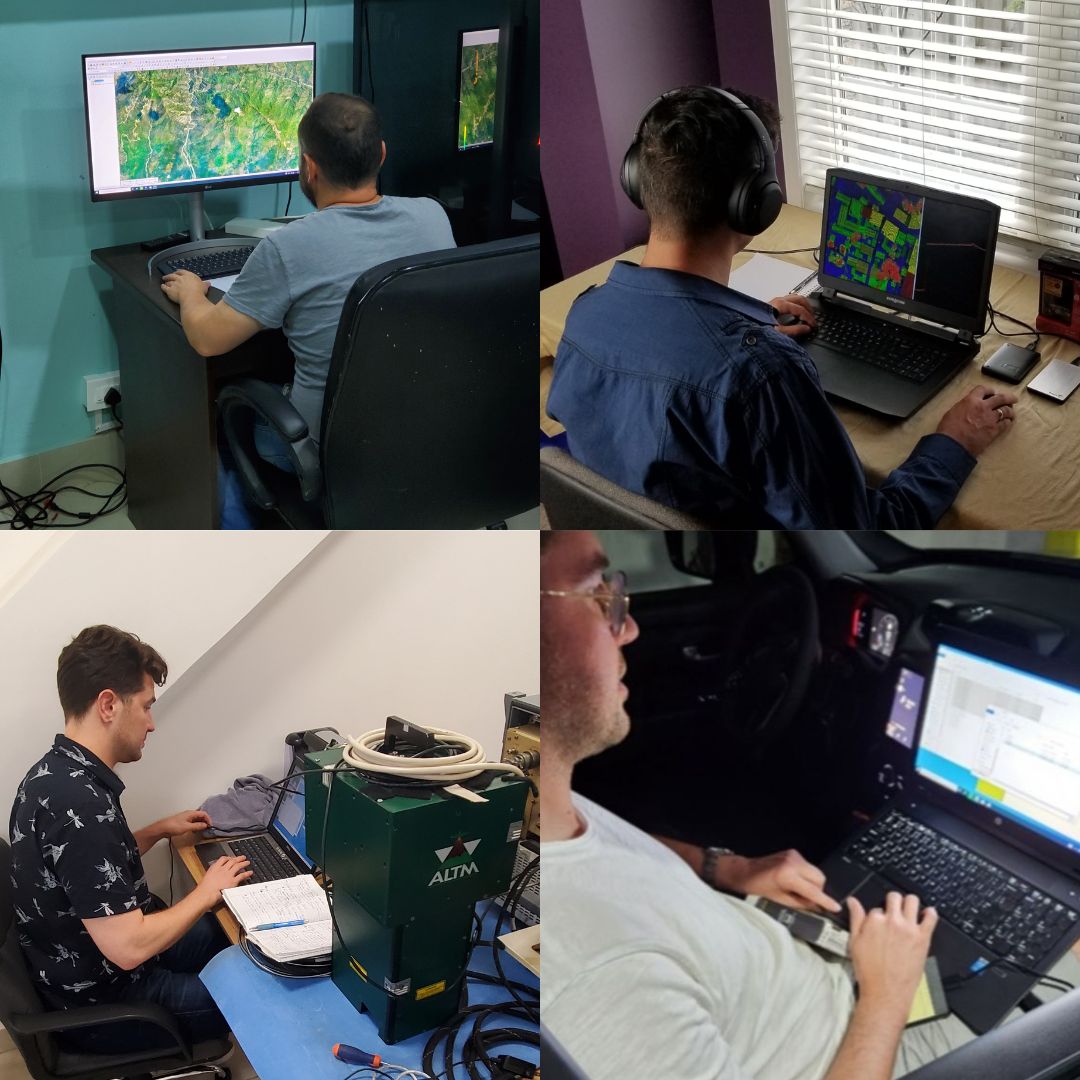
Altitude Geospatial Inc. is comprised of a team of project managers, registered land surveyors, Geomatics experts, system operators and data processors that are proficient in completing survey projects ranging from small corridor collections to large wide area projects (+10,000 kilometers squared in size) in a guaranteed time frame.
Altitude Geospatial Inc. has been working on LiDAR and photogrammetry projects in various countries around the world providing final deliverables for our clients with great success.

“Data processing, analysis, system payload integration, troubleshooting services”

With over 30 years of experience in the LIDAR and imaging industry AGI is equipped to help users manage their projects, procure aircraft/equipment, generate mission efficiencies, perform data collections, data processing, analysis, system payload integration, troubleshooting services and equipment validation all in an expedited time frame. Through our experience in the global LIDAR and imaging industry along with abundant international travel to conduct projects, services, and sales for our clients, we are well equipped to provide customized solutions for any clients’ geospatial needs. We leverage our experience gained from the wealth and variety of global geospatial projects we have completed to help our clients precisely find the data solution they require and provide support with training to ensure understanding, performance, and continued satisfaction

Meet Our Team

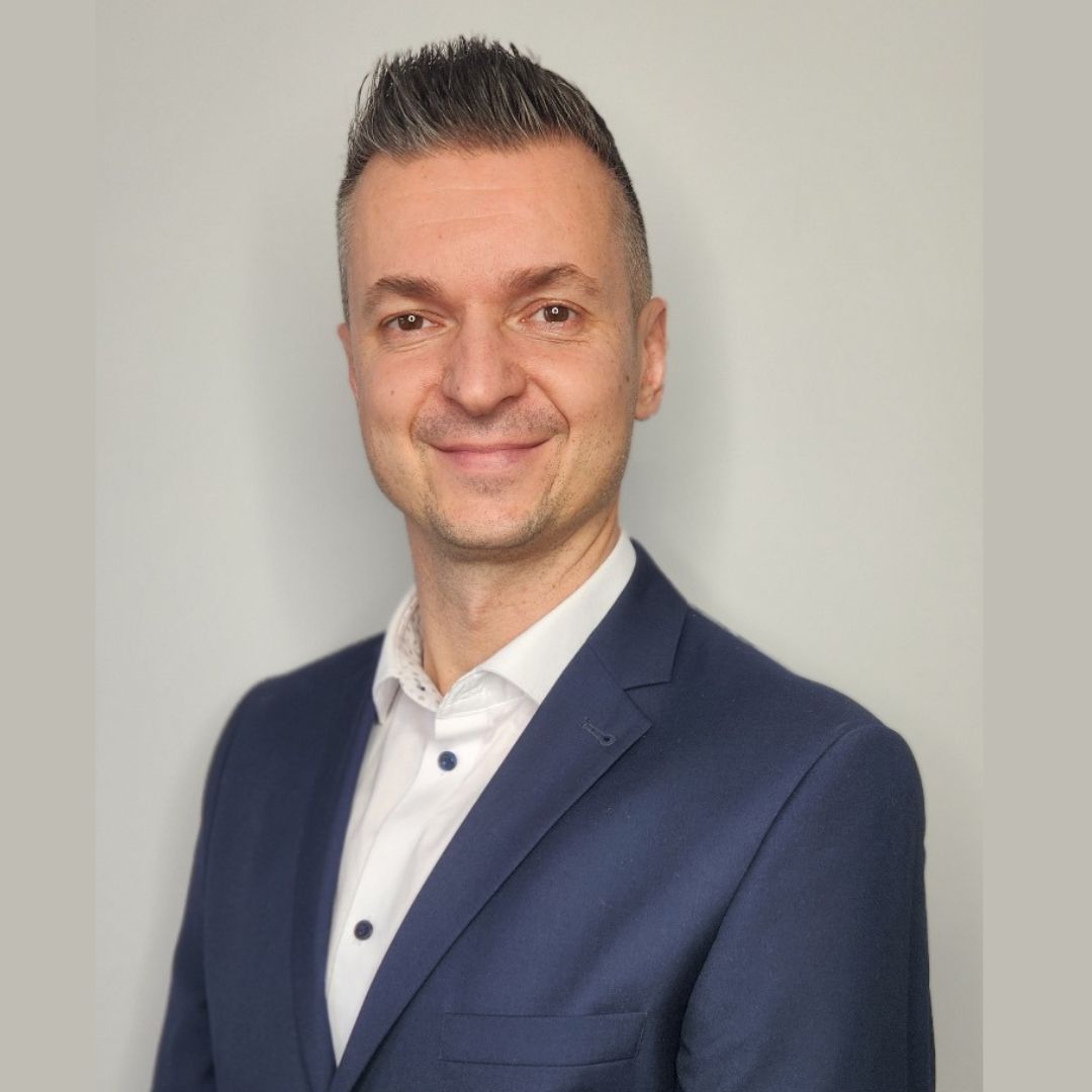
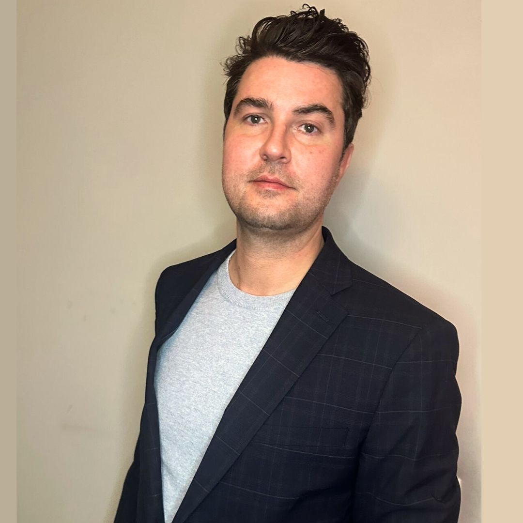
Adrian Kudzma
Adrian KudzmaB.S in GIS, Co-Founder Altitude Geospatial Inc.
Geomatics expert with 20 years of experience in geospatial solutions and consulting to clients worldwide. Strategic thinker for solutions to complex remote sensing challenges. Successful in developing, adapting and applying strategies for specific geospatial client needs. Leader and innovative thinker in the geospatial industry, providing hardware, software and training solutions in the LiDAR industry. Solid experience acquired from his time in the LiDAR equipment manufacturing industry and participation in remote sensing projects around the world with terrestrial, mobile, airborne, drone LiDAR and photogrammetric data.
Jon Henderson
Jon HendersonB.A, GIS(PG), Co-Founder Altitude Geospatial Inc
Experienced and dedicated AGI owner, geomatics expert and project manager with 15 years of experience in the remote sensing industry. Management of large projects in complex terrain and all types of data. Project consulting with delivering data according to specifications in an accelerated timeframe. Experienced operator in LiDAR flights and camera calibration, GNSS station, among others. Expert knowledge from the beginnings of LiDAR data acquisition and aerial cameras, to the most recent and sophisticated technology, background that supports a solid knowledge of data acquisition and processing.
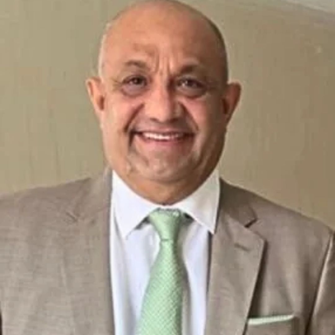
Eduardo Padilla Hernández
Eduardo Padilla HernándezExecutive Director for Latin America of Altitude Geospatial Inc.
Lawyer. Specialist in Administrative Law. Msc in Law. PhD in Human Rights. Recognized author of 7 books in the environmental area. He is the Executive Director for Latin America of Altitude Geospatial Inc, providing all his knowledge and support in the environmental and administrative law areas, applied to geospatial projects.
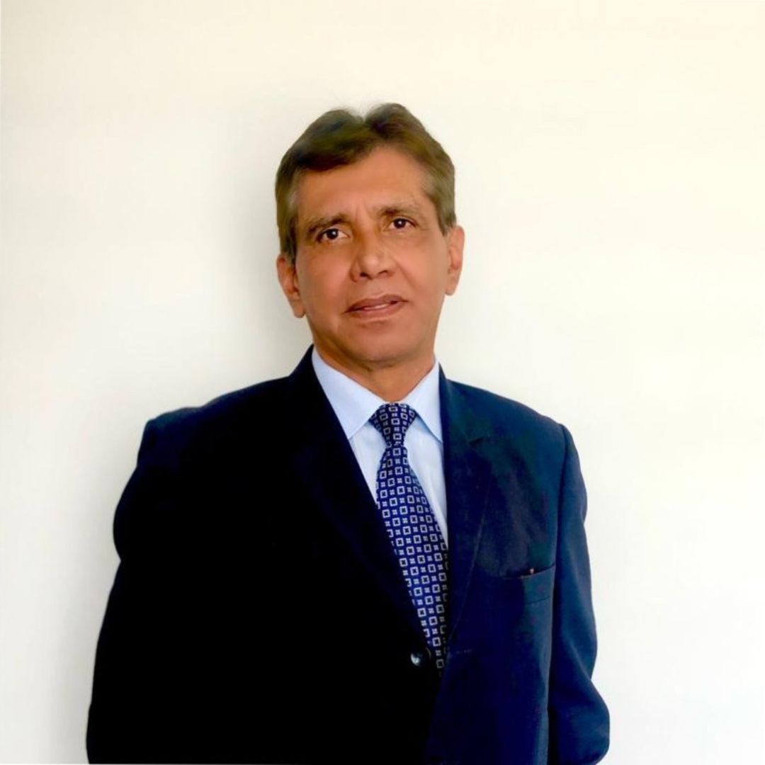
Fernando Casas
Fernando CasasLatin America Business Development Manager. Altitude Geospatial Inc.
Responsible for Business Development in Latin America. More than 20 years of experience in the commercial side within the financial sector, as Branch Manager and in the real sector, managing sales teams and as Account Director in the technology sector, managing corporate accounts in most of Colombia, with excellent commercial results in meeting goals and objectives. Databases and knowledge of the Technology, Hotel, Financial and Industrial, Engineering and Construction, and Floriculture markets, among others.
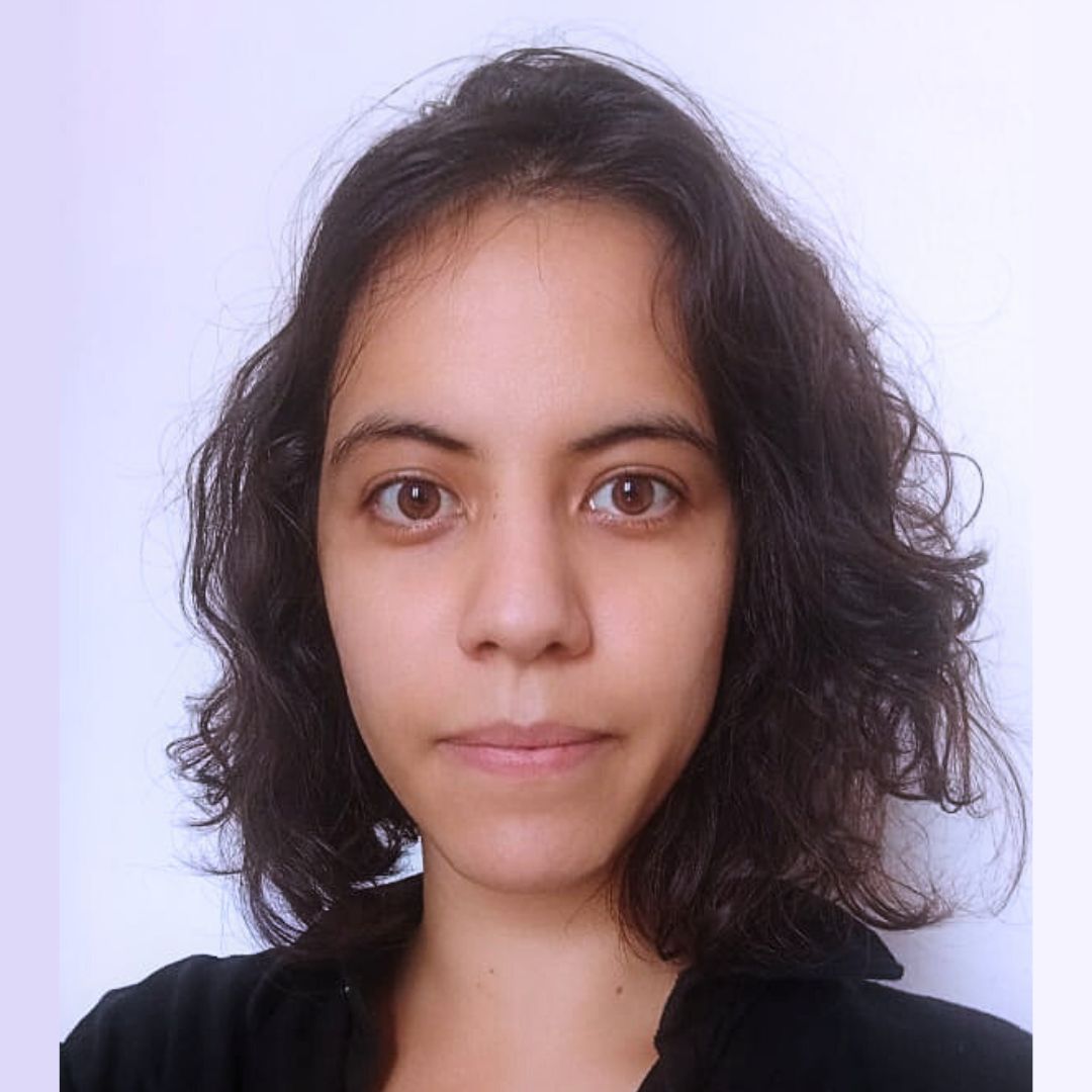
Julia Cardoso
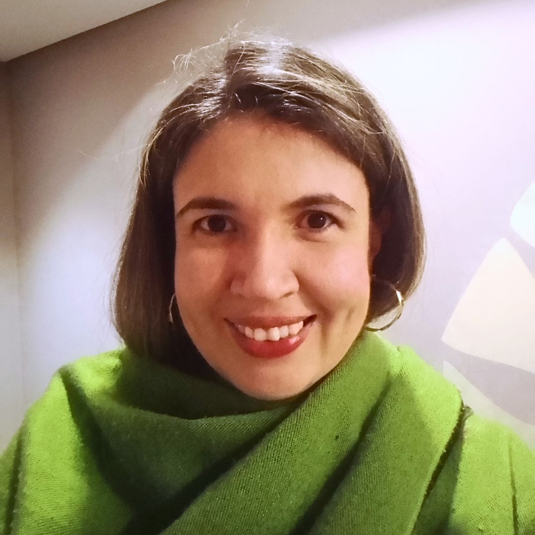
Julia CardosoDegree in Geography. Data Analyst Altitude Geospatial Inc.
Bachelor’s degree in Geography from UNIFAL-MG. Technician in Geoprocessing by SENAC and postgraduate in Environmental Management by UFPR Brazil.
Experience in orthophoto production, point cloud processing, raster and vector data.
Creation and updating of municipal records, optimization of energy transmission and environmental analysis. Technical data analyst and client technical assistance.
Norymar Higuera
Norymar HigueraEngineer Geologist, Consultant at Altitude Geospatial Inc.
Geotechnical and geomorphologic studies applied to urban impact. Management of urban organization and management processes. Researcher in the area of Geomechanics, methodology for laboratory testing of materials (rock and soil cores) and 2D Geomechanical Simulation of rock massif. Stratigraphic and Sedimentological model integrator in Industria Oil & Gas, interpretation and modeling of sedimentary facies. Sedimentological model of reservoirs. Subsurface and surface maps. Study of exploratory areas and oil and mining prospecting. +20 years of experience

Our Partners

Applications

Here is a quick introduction to some of the engineering and geospatial applications carried out with the use of latest technology Altitude Geospatial Inc. has at their disposal to take your projects to the next level.

Get A Quote Today

If you would like to receive a quote for one of our products, a quote for any of our services or to find out how we can help you find a solution for your company, call us or send us an email, or simply contact us by leaving the following