Our Team
At AGI we have the qualified technical team to execute your project to the highest quality standards
Our background
Founded in 2018, Altitude Geospatial Inc (AGI) is a Canadian owned consulting company and service provider that facilitates clients around the world. AGI was founded to fill the void between manufacturers and users of laser and imaging instruments. Altitude Geospatial provides a comprehensive solution for airborne, mobile, and terrestrial data collections, data processing services, technical services, sales, and consulting in the areas of Imaging, GNSS, Laser Scanners, UAS and Software.
“Facilitates clients around the world”
Altitude Geospatial Inc. is comprised of a team of project managers, registered land surveyors, Geomatics experts, system operators and data processors that are proficient in completing survey projects ranging from small corridor collections to large wide area projects (+10,000 kilometers squared in size) in a guaranteed time frame.
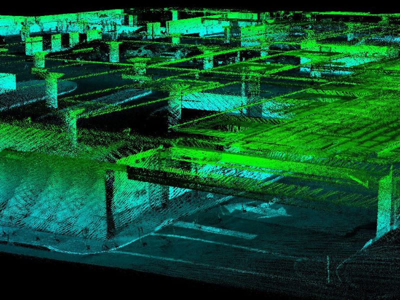
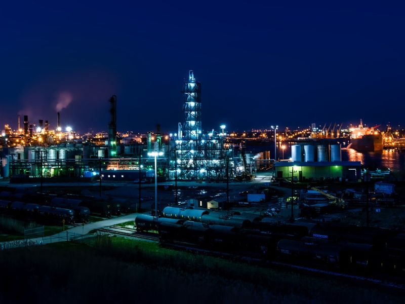
Altitude Geospatial Inc. has been working on LiDAR and photogrammetry projects in various countries around the world providing final deliverables for our clients with great success.
“Data processing, analysis, system payload integration, troubleshooting services”
With over 30 years of experience in the LIDAR and imaging industry AGI is equipped to help users manage their projects, procure aircraft/equipment, generate mission efficiencies, perform data collections, data processing, analysis, system payload integration, troubleshooting services and equipment validation all in an expedited time frame. Through our experience in the global LIDAR and imaging industry along with abundant international travel to conduct projects, services, and sales for our clients, we are well equipped to provide customized solutions for any clients’ geospatial needs. We leverage our experience gained from the wealth and variety of global geospatial projects we have completed to help our clients precisely find the data solution they require and provide support with training to ensure understanding, performance, and continued satisfaction
Meet Our Team


Experience in orthophoto production, point cloud processing, raster and vector data.
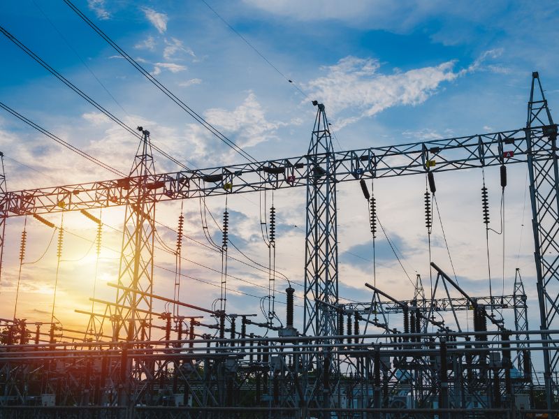
Creation and updating of municipal records, optimization of energy transmission and environmental analysis. Technical data analyst and client technical assistance.

AGI Sales Team
Geologist with extensive experience in the oil and gas, mining and sedimentology consulting industries. Strong technical background supporting high level client service at AGI.


We are dealers


")
")
Applications
Here is a quick introduction to some of the engineering and geospatial applications carried out with the use of latest technology Altitude Geospatial Inc. has at their disposal to take your projects to the next level.
Get A Quote Today
If you would like to receive a quote for one of our products, a quote for any of our services or to find out how we can help you find a solution for your company, call us or send us an email, or simply contact us by leaving the following