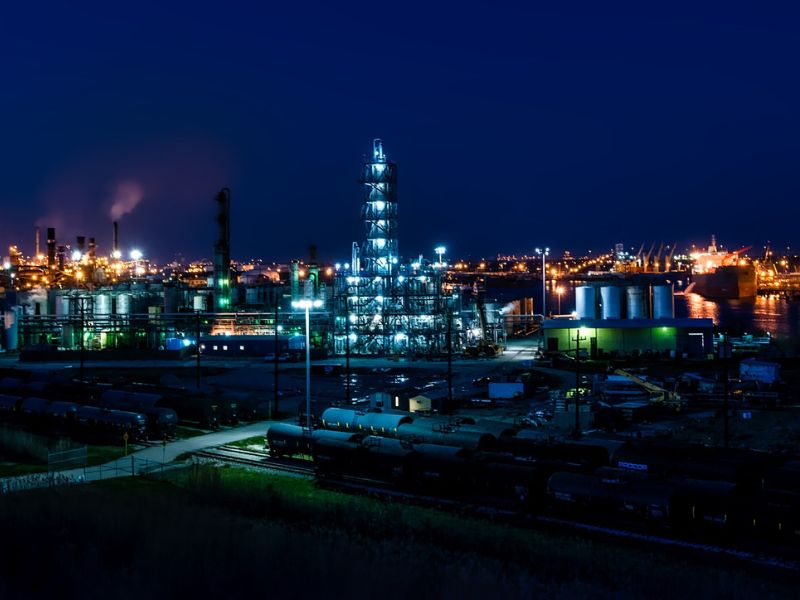
Oil and gas
Our Specialized technology can help identify oil spills or gas emissions for the petroleum industry during the prospecting stage
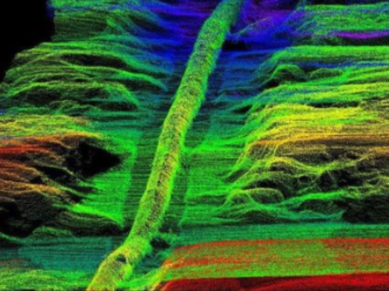
LiDAR technology in the oil and gas industry
LiDAR Specialized imaging technology has applications in oil and gas exploration, pre-drilling environmental assessment, and evaluation of production management facilities.
Lidar Specialized imaging technology is important in the oil and gas industry because Lidar derived slope angle maps can be used to identify areas of higher oil and gas production, and can help identify oil spills or gas emissions for the petroleum industry during the prospecting stage.
Furthermore, there is a correlation between retreating glacier paths and subsurface areas that produce oil and natural gas.
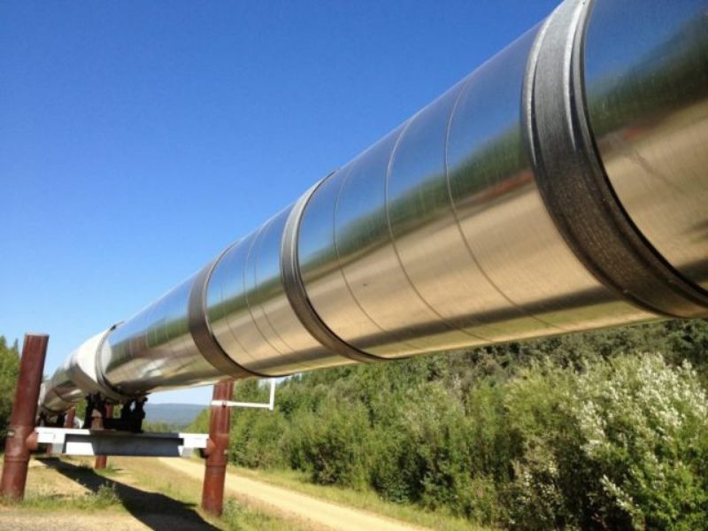
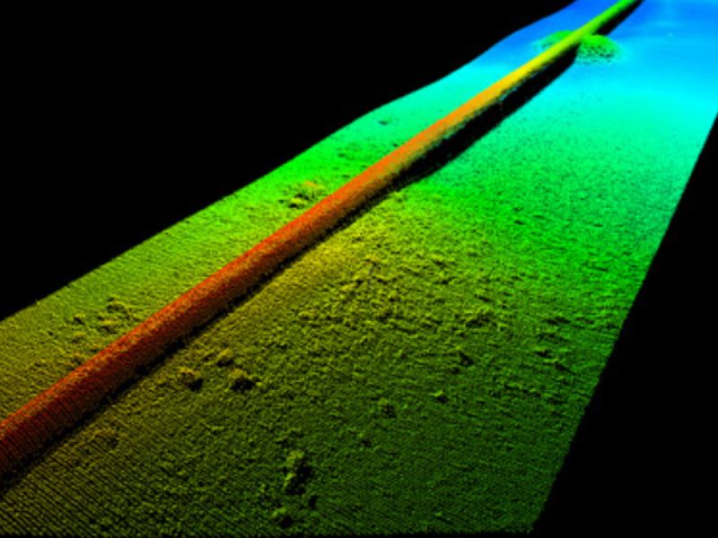
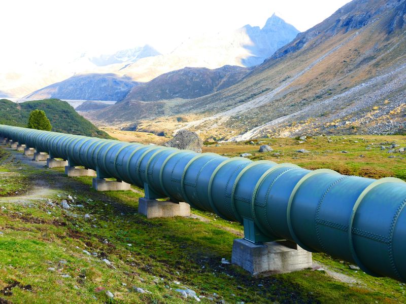
3D Lidar point clouds, satellite data and aerial imagery is used in the planning stage of pipeline construction to identify the best, most cost-effective routing paths, potential environmental impacts on surrounding areas and monitoring for pipeline leaks for Oil and Gas Industry.
AGI helps it’s customer by producing cost effective solutions for detailed terrain maps, identifying areas of higher oil and gas producing, highlighting least cost paths of pipeline construction, identifying potential environmental risks to surrounding areas and reporting on potential pipeline leaks with the use of thermal sensors.
Please contact us for more details about this solution and about more information on purchasing the equipment we sell for these services.
Project Gallery
Get A Quote Today
If you would like to receive a quote for one of our products, a quote for any of our services or to find out how we can help you find a solution for your company, call us or send us an email, or simply contact us by leaving the following