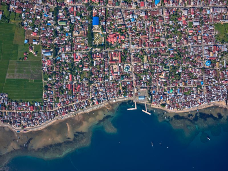
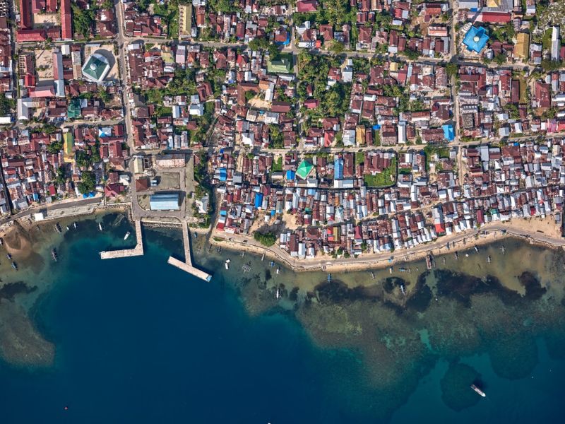
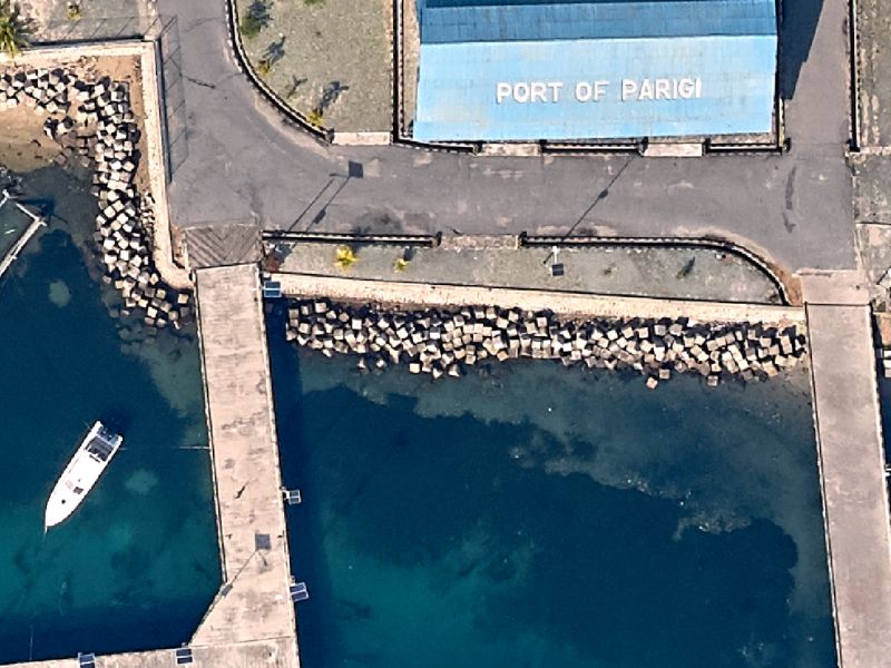
Wide Area Mapping
AGI can provide mapping solutions
for wide areas and processing services which include Point Clouds, DEM, DTM, Classifications, Orthos and Custom Deliverables
high accuracy & High-resolution
Wide area mapping provides high accuracy and high-resolution point cloud data on thousands of square kilometers of terrain.
AGI will manage wide area collection projects from the planning stage, through collection up to the delivery of final deliverables. We can provide post processing services including DEM, DTM, RGB points clouds, classification, feature extraction for natural resource management, change detection (erosion monitoring), flood plain mapping and urban modelling including 3D cities. Furthermore, all the above data can be paired with RGB, 4band and thermal camera data to create a second layer of information to complement the LiDAR data.
Please contact us for more details about this solution.
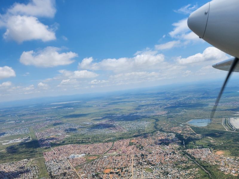
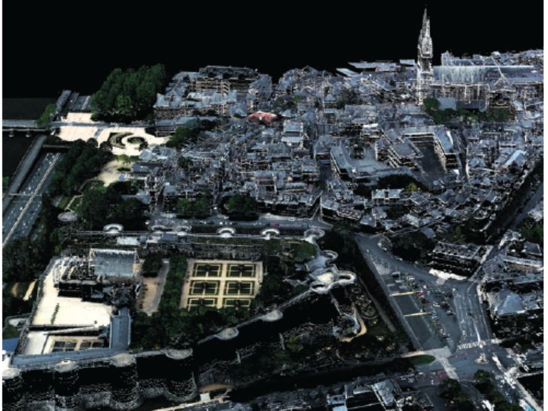
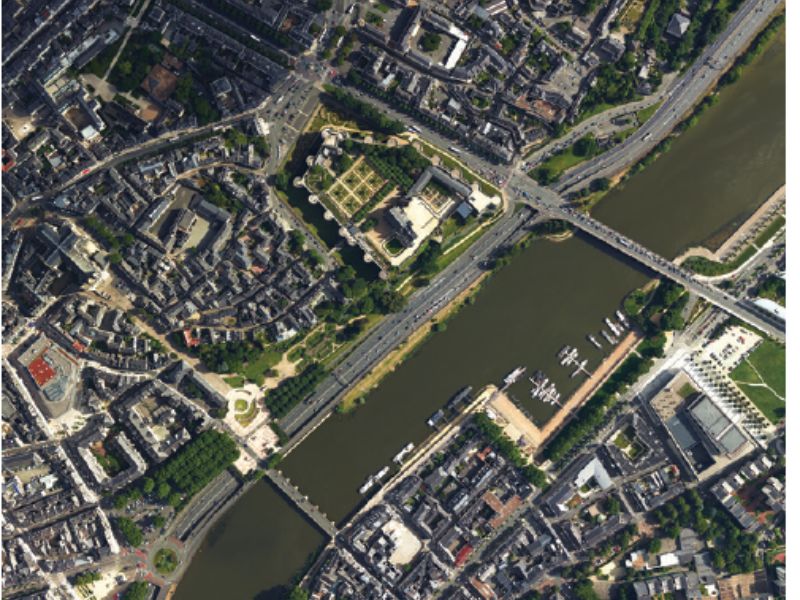
Project Gallery
Get A Quote Today
If you would like to receive a quote for one of our products, a quote for any of our services or to find out how we can help you find a solution for your company, call us or send us an email, or simply contact us by leaving the following