mining
AGI can perform LiDAR, Photo and Ground Penetrating surveys
for Mining Companies with the use of our Specialized equipment
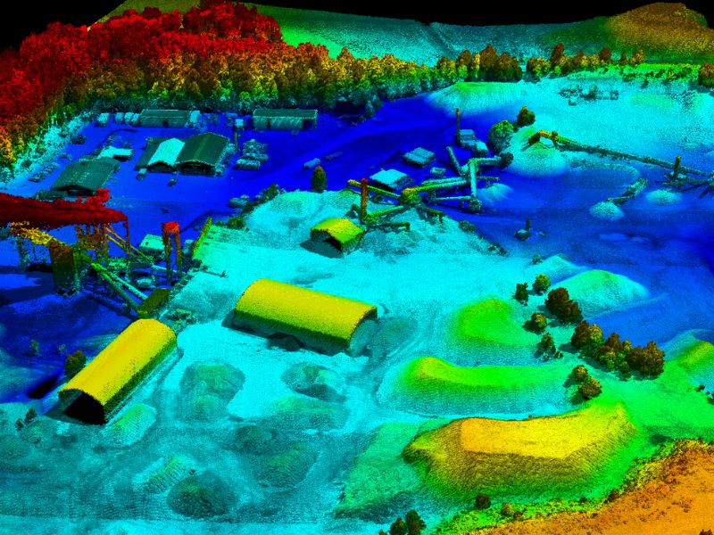
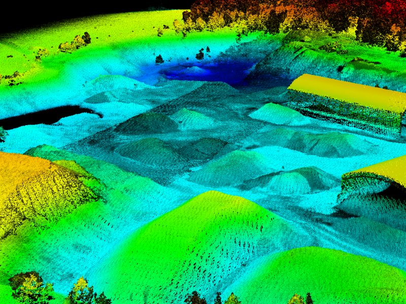
volumes & reserves
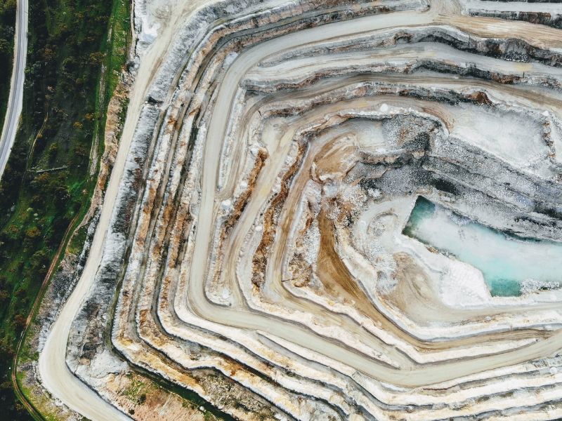
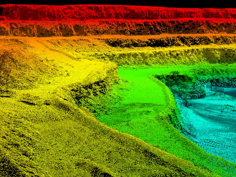
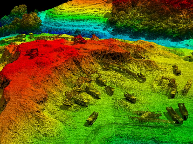
The mining industry is interested in calculating the day to day volume levels of their stock, reserves and site arrangements in an efficient and cost-effective way. This data is expected on a daily basis for planning and reporting purposes. Traditionally, tripod-based scanners were used to perform these tasks, but they were too interruptive to daily operations and took too long to setup around the mine to capture all the information needed. Currently, photogrammetry and Lidar surveys using UAV’s are dominating the mining industry to provide the necessary data.
AGI can perform both Lidar and photo surveys for mining companies using UAV platforms. We can create terrain models of the mine, perform volumetric calculations of stock piles, provide the solution including hardware, software, training and support to perform the tasks yourself.
Please contact us for more details about this solution and about more information on purchasing the equipment we sell for these services.
Project Gallery
Get A Quote Today
If you would like to receive a quote for one of our products, a quote for any of our services or to find out how we can help you find a solution for your company, call us or send us an email, or simply contact us by leaving the following