FORESTRY
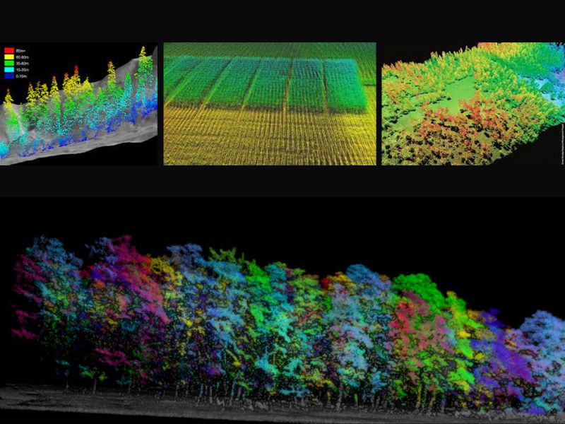
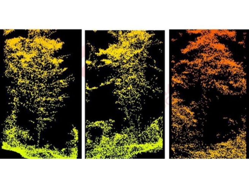
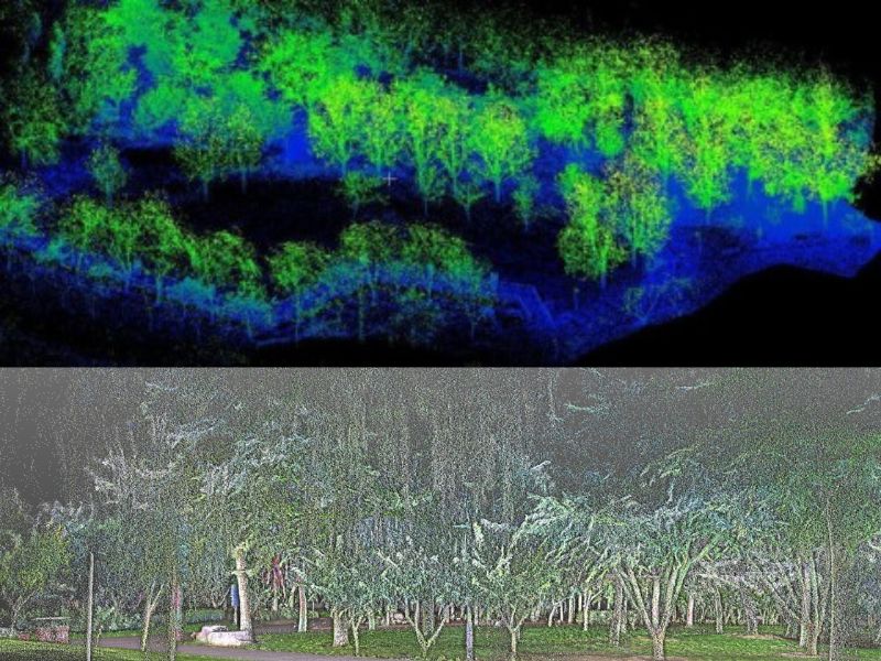
LiDAR has been a proven technology for years in the Forestry industry. This is due to the fact that LiDAR can penetrate the tops of trees and map them to produce an accurate dataset that can be used for further analysis
LiDAR into Forestry Industry
The forestry industry has been struggling with inaccurate data based on interpolations and sample measurements to represent its inventory.
The introduction of Lidar into forestry industry has been well accepted as the data provided by a fixed wing (large areas) or UAV (smaller areas) Lidar survey is much more accurate, complete and representative of the real world.
No longer do you need to risk people by sending them into the rugged terrain to take manual measurements of your forest inventory. AGI will perform the data collection for you.
We will supply you with a high-resolution digital terrain model (DSM, DTM, DEM) for your forest planning and management needs.
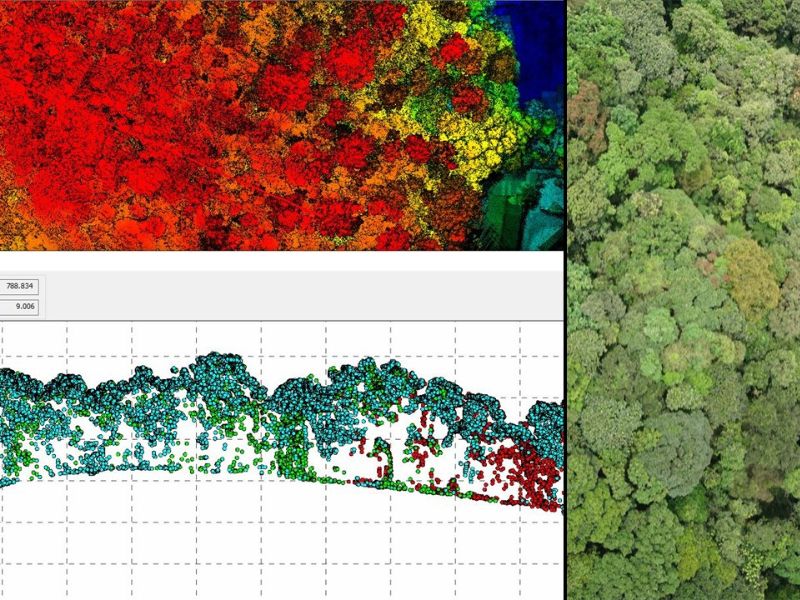
We can also perform classification of the data to derive reports on individual tree counts, species identification, volume calculations, canopy heights and forest density.
AGI can help the precision forestry industry identify areas of poor growth in order to optimize quality and yield of the plantation.
Please contact us for more details about this solution and about more information on purchasing the equipment we sell for these services.
Project Gallery

Get A Quote Today
If you would like to receive a quote for one of our products, a quote for any of our services or to find out how we can help you find a solution for your company, call us or send us an email, or simply contact us by leaving the following