agi services
Altitude Geospatial Incorporated
we Are Your Geomatics Solutions Provider
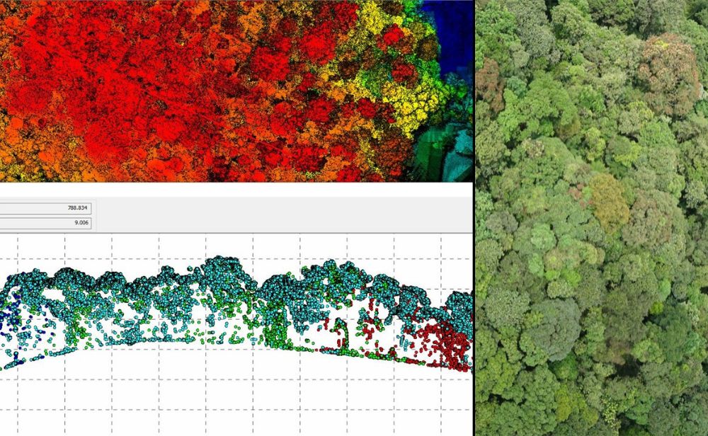
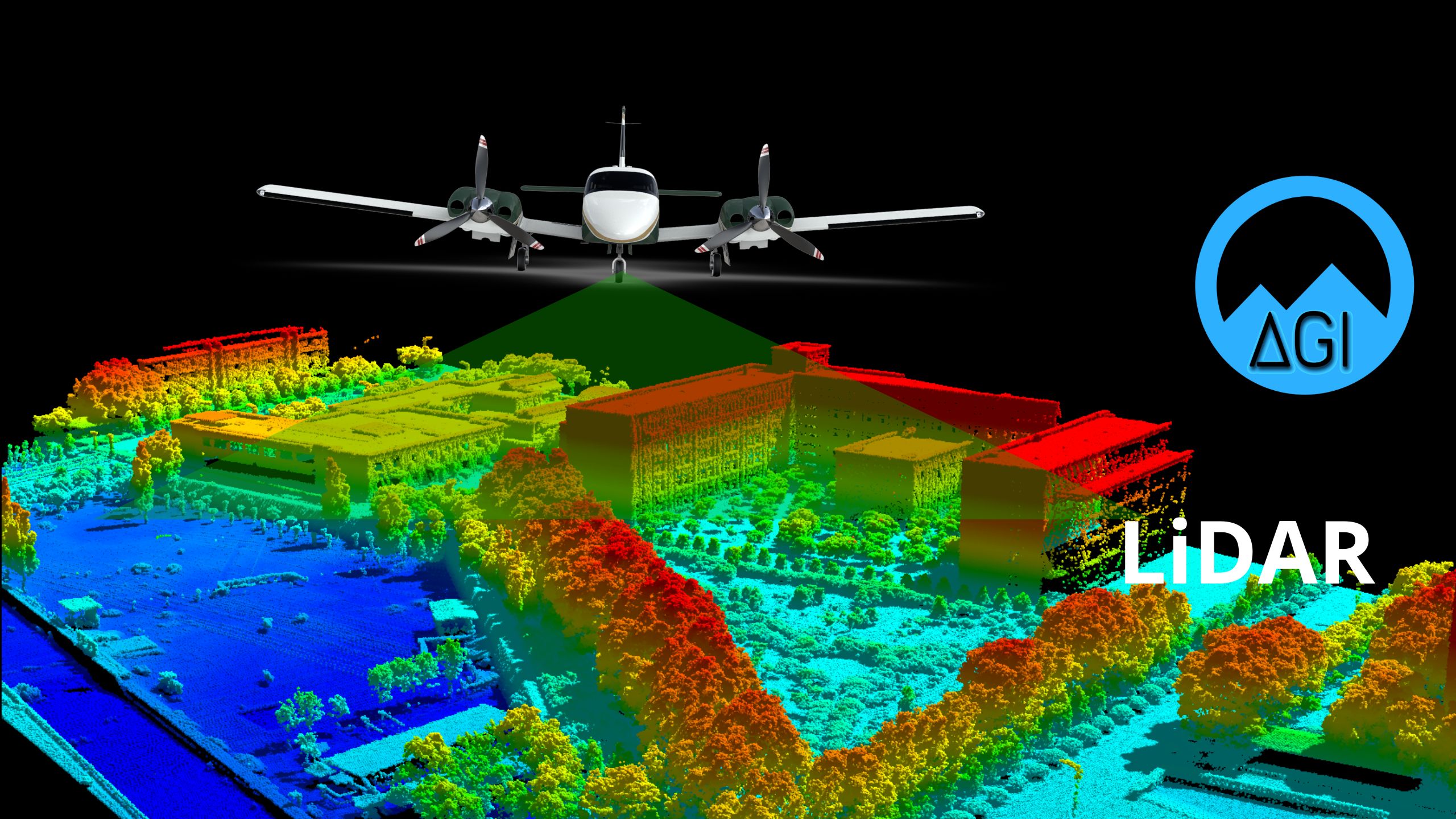
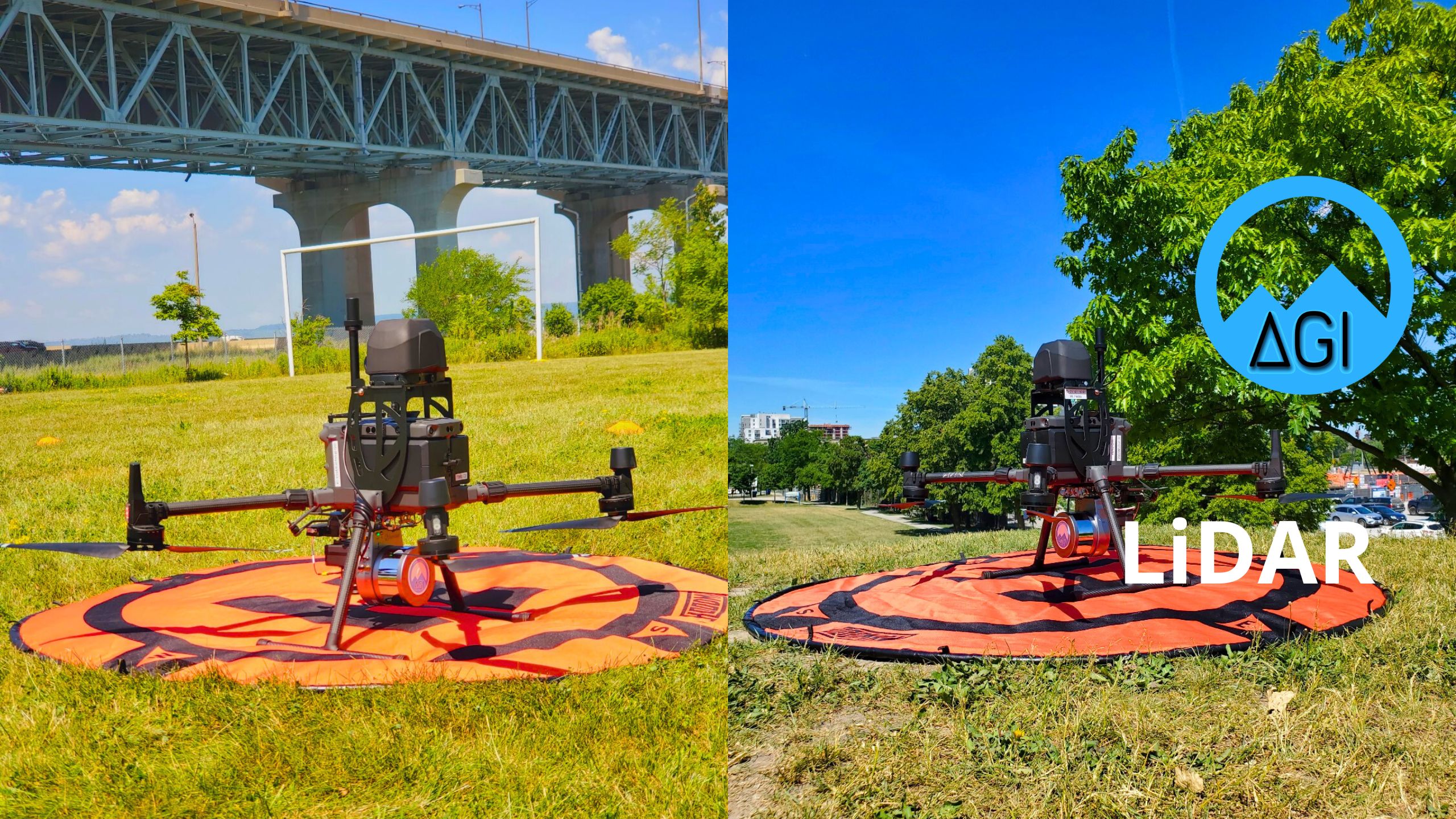
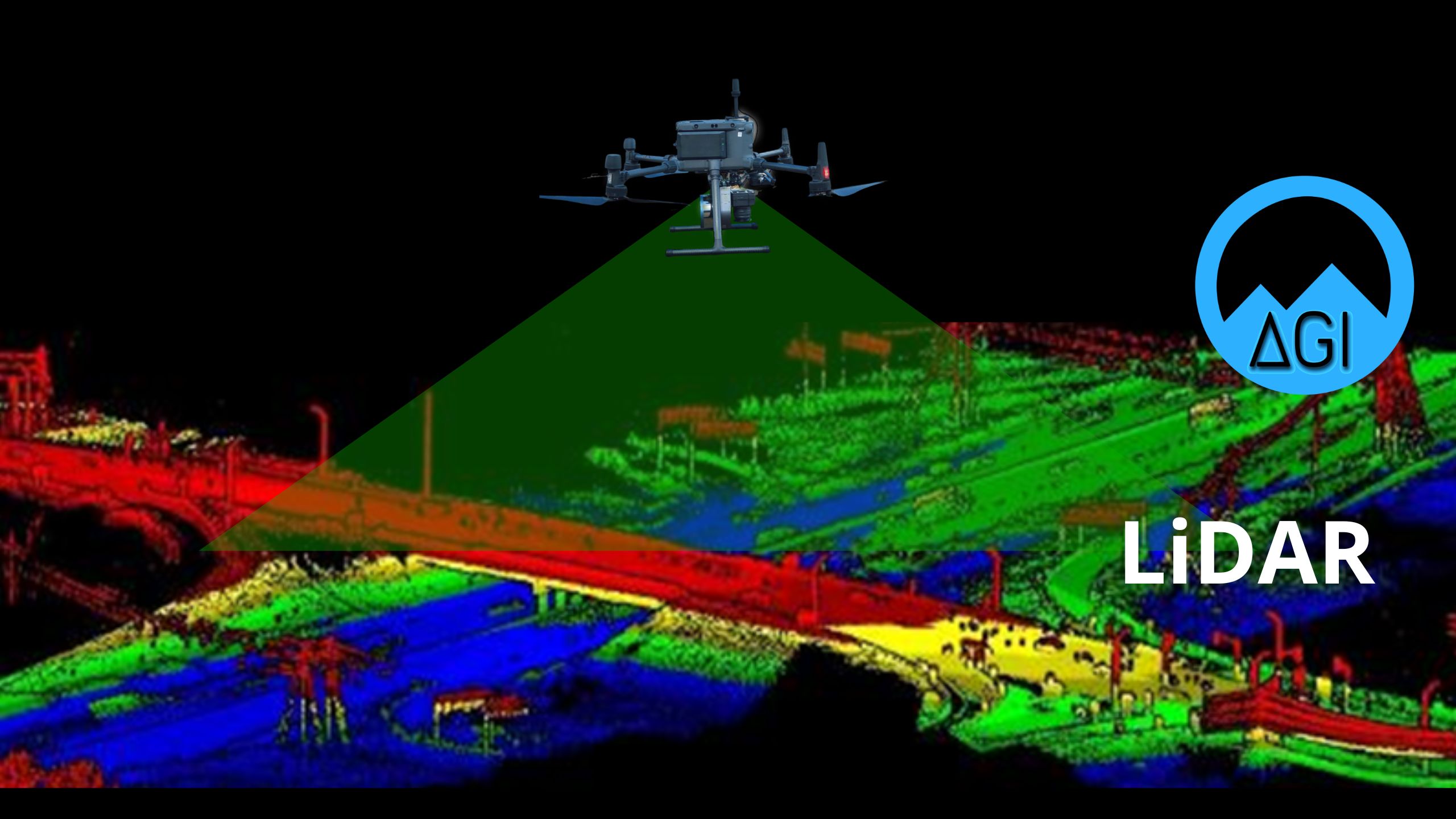
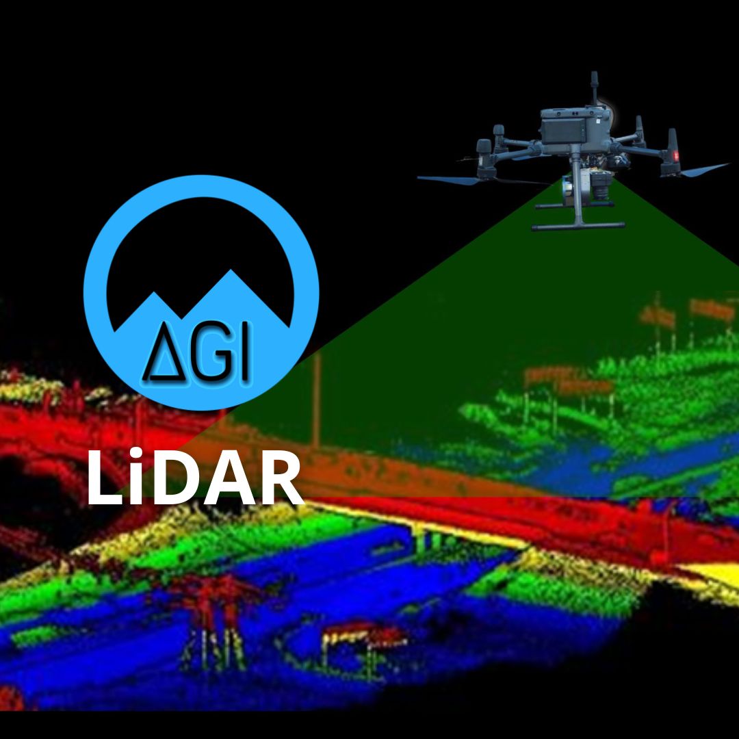
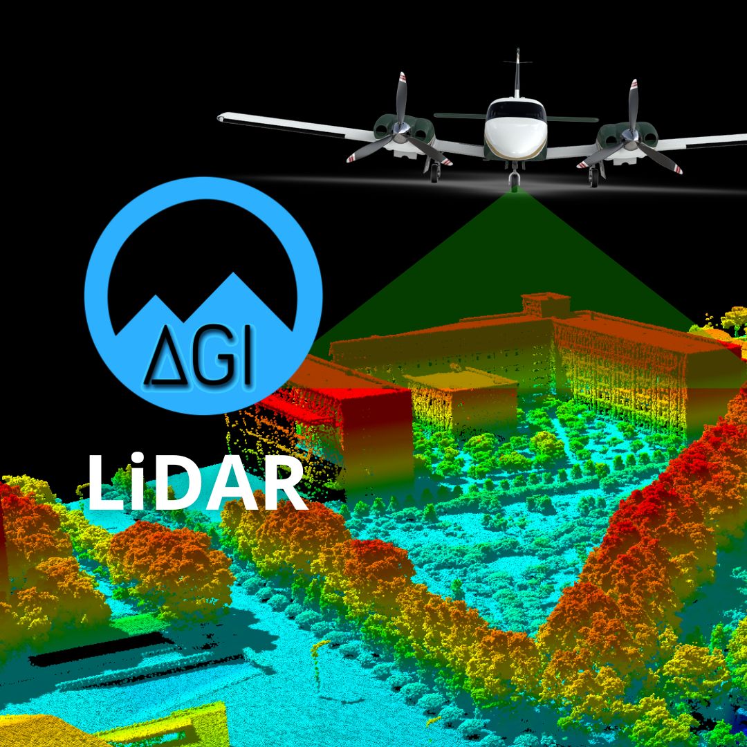
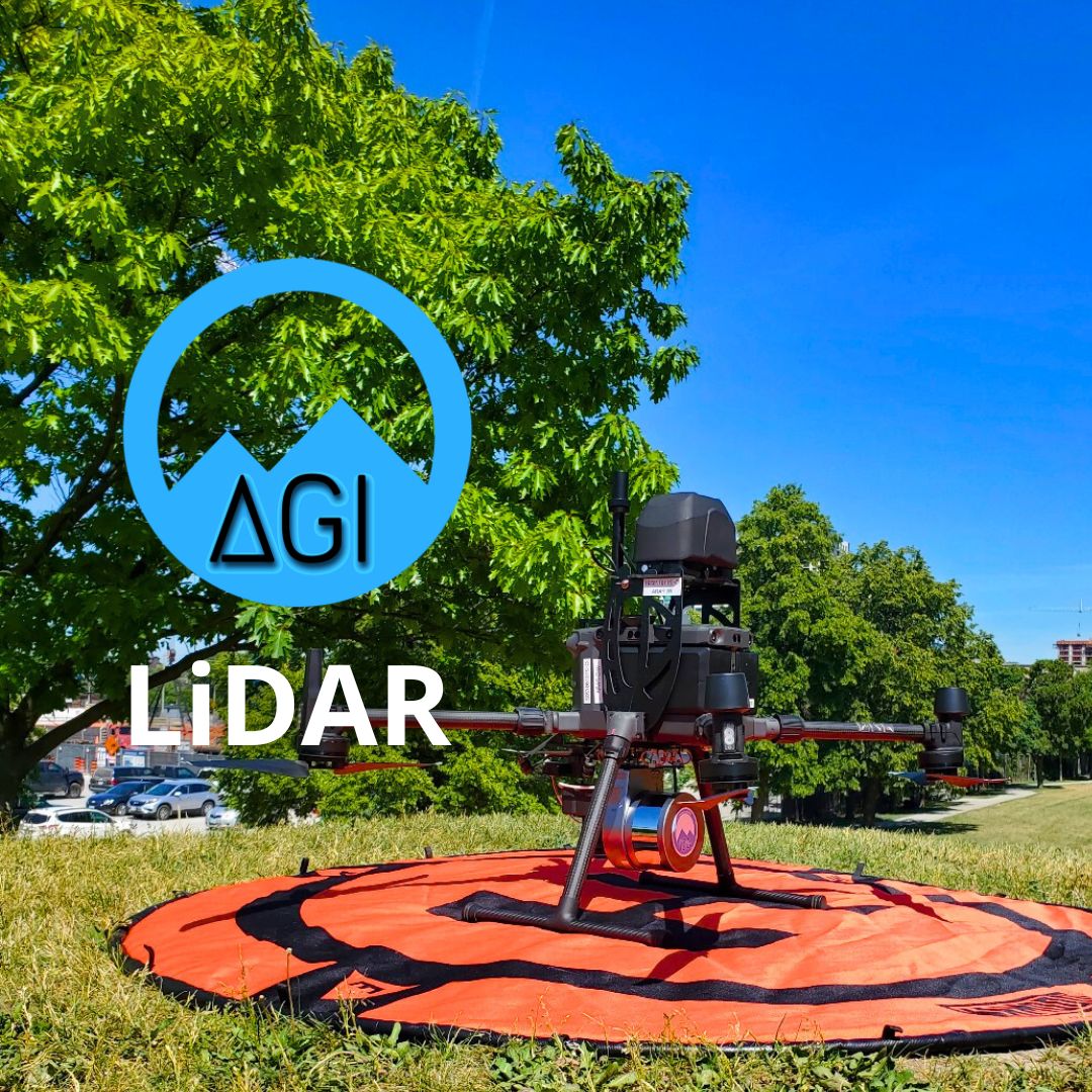
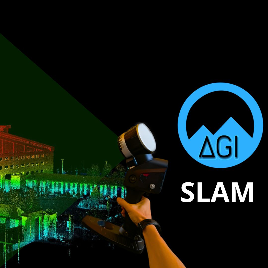
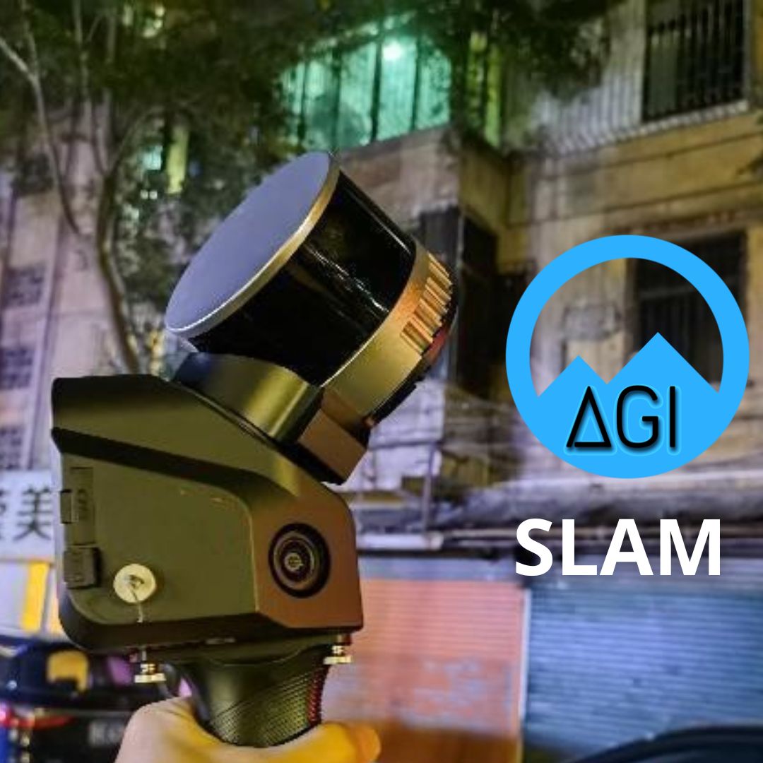
LiDAR
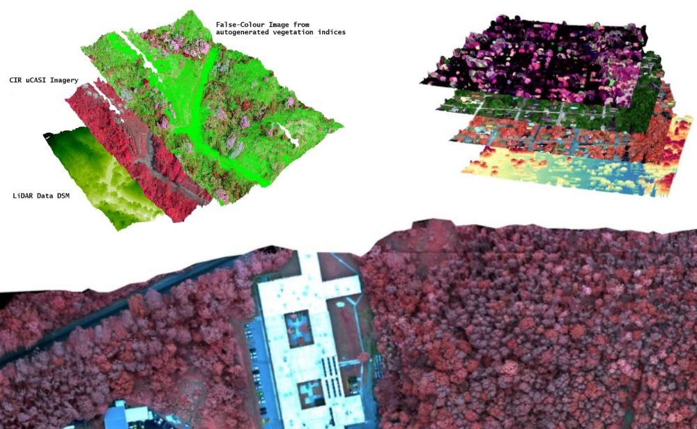
LiDAR data is commonly collected alongside other imaging mappers and sensors such as RGB, CIR, 4band, thermal, multispectral and hyperspectral. This pairing of LiDAR data with photogrammetric data provides an exceptionally comprehensive data model with highly accurate range measurements that are aided with the imagery for colourization or target feature analysis.

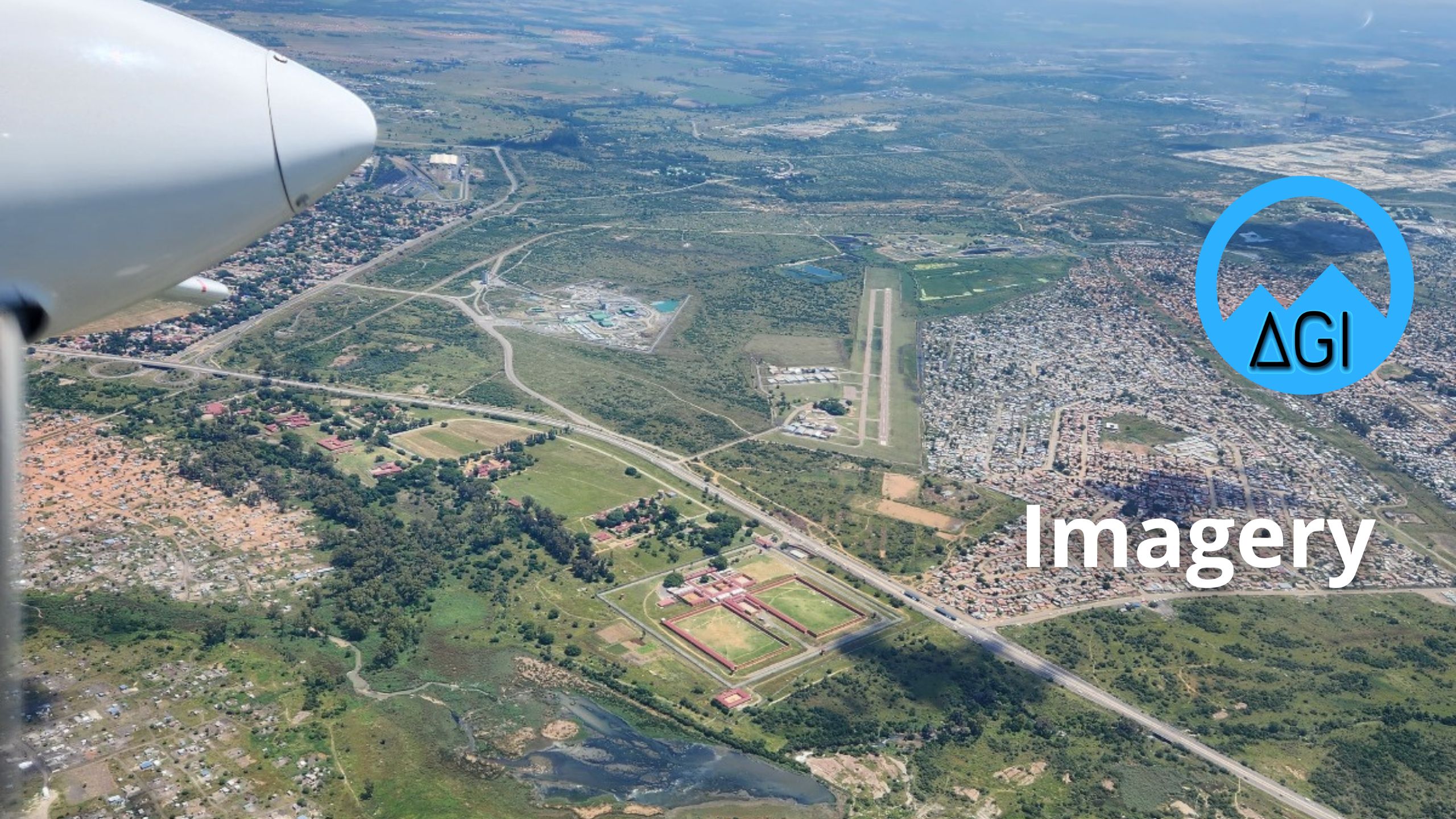
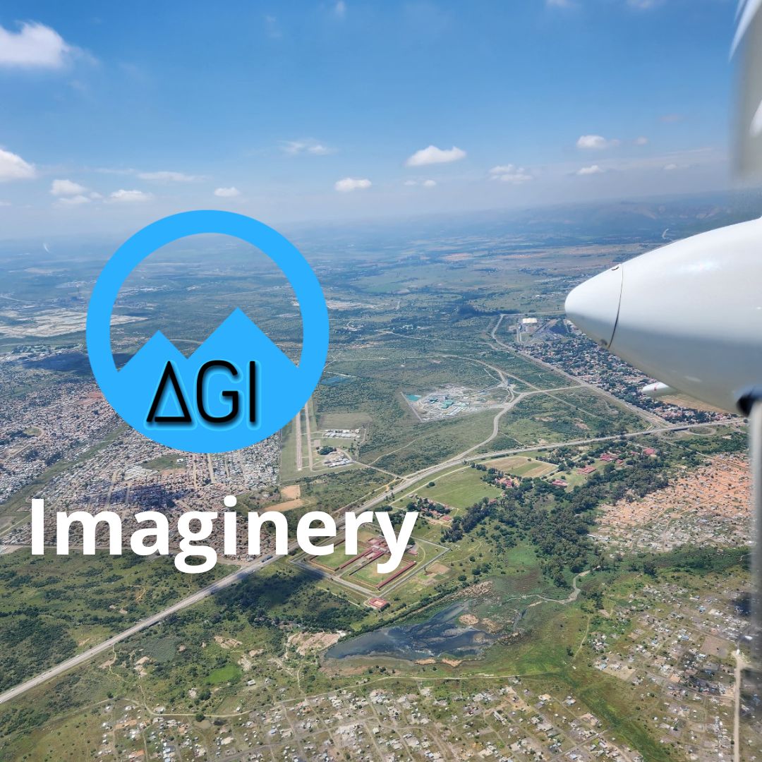
IMAGING
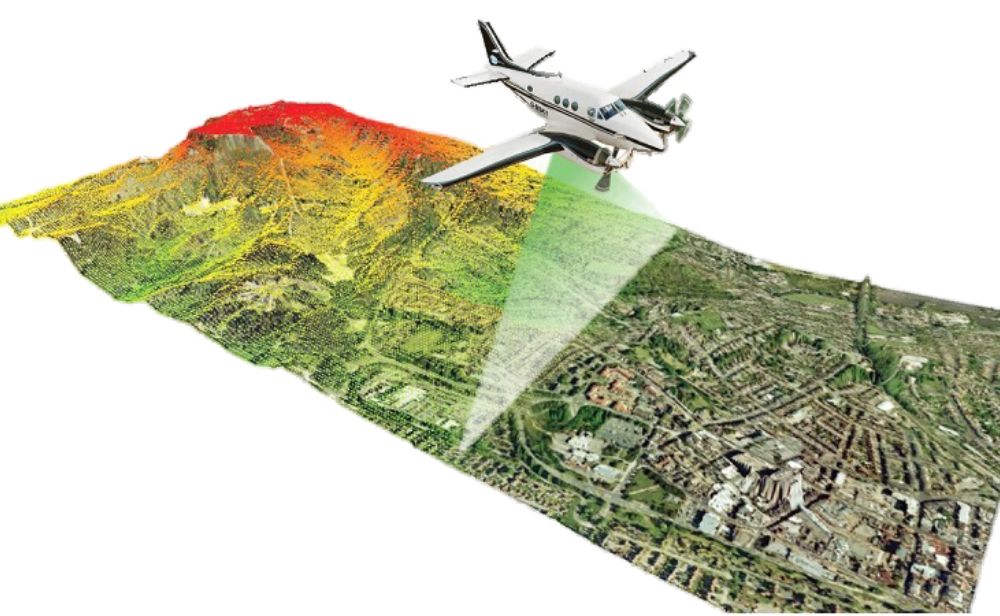
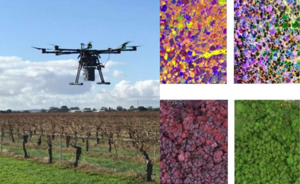
The photogrammetric sensor options of today offer the flexibility to be mounted from a diverse platform selection, such as airborne, mobile and UAV. Geospatial imagery is used in a variety of applications either as a standalone product or in aiding an accompanied sensor for increased geospatial data analysis. Some applications are forestry, agriculture, plantation, mining.

SERVICES
•Project execution from launch through to final deliverables
•Project Planning
•Logistics and Management
•Sensor Integrations, Sensor Operations
•Data Pre and Post Processing
•Custom Requirements for your Point Cloud needs
•Aerial Flight line Matching, Registration
•Point Cloud Classification; DTM and DSM creation, Hydro flattening, Power line, Vegetation and custom classification
•Contour Generation
•Feature Extraction and Post Processing Deliverables
•Concatenate LiDAR Data Sets Collected Across Platform Types
• BIM (Data Collection and Data Rendering)
• Geospatial Data Network Setup
• Landuse and Landcover Mapping
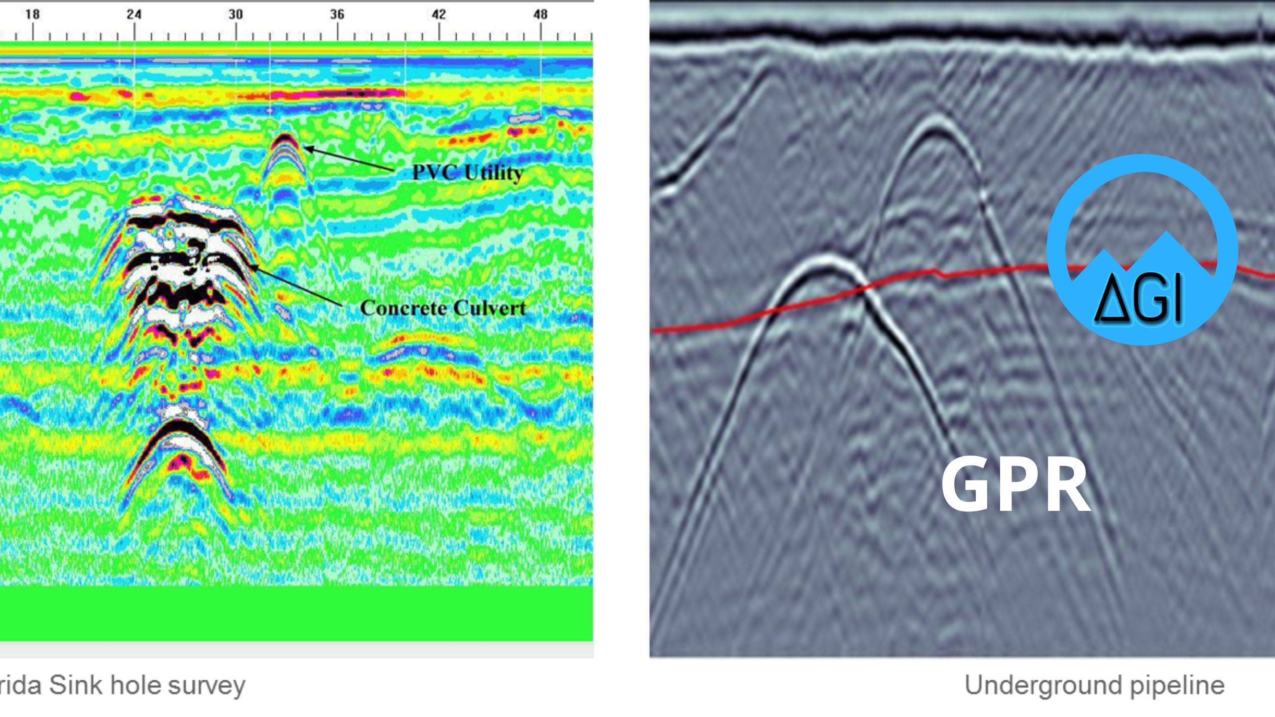
• Utility Mapping
• Data Collection and Data Entry
Operator, Processor, Diagnostic and Repair Services
AGI puts to practice their full understanding of the LiDAR instruments and the industry by providing services for legacy sensor data, hardware and software, as well as services directed to companies that are new to geospatial Imagery and LiDAR data.
• Sensor Operator Contracting (LiDAR, Medium and Large format camera, Thermal and Multispectral Sensors)
• Data Processing In-Field Contracting
• Sensor Hardware Diagnostic and Repair
• Sensor and Data Calibration
• Troubleshoot Sensor Operational Issues
• BIM (Data Collection and Data Rendering)
• Geospatial Data Network Setup
• Landuse and Landcover Mapping
• Utility Mapping
• Data Collection and Data Entry
Procurement Division
AGI’s Procurement Division is responsible for providing technical support on our products, data services, hardware, projects services, training and consulting services. We work with our clients to provide the highest quality of service in accordance with all project specifications and safety requirements.
The Sectors work is focused on:
• Negotiations with suppliers on price and delivery
• Preparation of contracts
• Investigation of sources of supply
• Obtaining price quotations
• Arranging of documentation, insurance and shipping, monitoring of the installation and commissioning of procured equipment
Aircraft Sourcing
AGI, together with our aviation partners in Canada, USA, Central and South America offer a variety of survey aircraft for all types of sensor platforms. The aircrafts are fully configured for aerial survey missions (LiDAR and Photogrammetry) that can operate anywhere in North, Central and South America.
• Survey ready aircraft leasing
• Aircrafts equipped with sensor hole sizes from 19×19 inch to 21.5×20 inches in size
• Oxygen equipped aircraft for operations 10,000-24,000 feet
• Setup any approved STC external or internal survey equipment
• Long and short term survey project services with dedicated engineer onsite
• Custom GNSS antenna installation and setup
• Pilots are highly experienced with LiDAR and Photogrammetry data acquisitions
• Utilizing NAFTA for operations in Canada and Mexico
• Pilots are listed under the air operator certificate to satisfy Transport Canada and FAA requirements
Equipment Sourcing
If you are in need of equipment to complete your projects? Here is a list of current equipment that is available through out Procurement department. If you don’t find what you need below please contact us and we will surely be able to find what you need and help you out:
• Airborne Medium Format Camera (NIR/RGB)
• Airborne Large Format Camera
• Multispectral/Hyperspectral Camera
• Airborne LiDAR system
• Mobile LiDAR system
• Terrestrial LiDAR system
• Ground based GNSS support systems
Contact us
If you would like to receive a quote for one of our products, a quote for any of our services or to find out how we can help you find a solution for your company, call us or send us an email, or simply contact us by leaving the following