Testimonials

“AGI has demonstrated high technical capability over the years, especially through Adrian Kudzma, who has provided key technical information on LiDAR sensors and best practices to ensure the application of its products. Their quality of information and technical support is essential to our value proposition, and we look forward to further strengthening this collaboration. GEOCOM is a prestigious company in technical terms and we value suppliers such as AGI for their experience and competence, which complement our capabilities and benefit our customers.”

“The Altitude Geospatial team have been valuable partners on several key projects. Their expertise in UAV LiDAR and remote sensing was critical to winning business and exceeding customer expectations with project execution and deliverables. These guys know what they are doing, and they do it exceptionally well.”

“I had the pleasure of speaking with the founders of Altitude Geospatial Inc., who provided invaluable insights into the geomatics industry, significantly enhancing my career journey.”

“AGI is a great partner of Engemec on new technology and best solution for each project.
Drone Lidar, mobile Lidar, SLAM with a great support and through steady knowledge exchange”

“Adrian and Jon from Altitude Geospatial are always ready and willing to assist whenever we had any issues with our sensors, sometimes way out of normal working hours. Their service is excellent and always friendly and helping wherever they can to get us airborne” again. It is a pleasure knowing that assistance is almost always available

“Altitude Geospatial introduced us to UAV LiDAR. They came onsite, performed training for my team and were very professional throughout the whole process. They are very knowledgeable and experienced when it comes to Geospatial technology. They provided solutions to all our challenges and made us more efficient in what we do. I mostly liked their availability to support our team whenever we needed them. You don’t find this kind of service these days!”

“I have had the pleasure of working with AGI for several years. Their extensive experience in remote sensing and their knowledgeable team have consistently met our project needs with flexibility and precision. AGI provided invaluable training on LiDAR equipment and point cloud data processing, significantly enhancing our technical capabilities. I highly recommend AGI for their professionalism and expertise”

“Having the advice of Adrian co-founder of AGI on LiDAR systems has been very useful for our LiDAR projects. He has always been available for any questions about the equipment and services provided in his company, after a few years of being in contact with him he is now a good friend.”

I have known Adrian for a decade and his geospatial knowledge and professionalism is top tier. Adrian is always willing to lend a hand and provide insightful solutions. Adrian’s Team at Altitude Geospatial are also top-notch, always ready to assist and adapt to specific needs with their hardware and processing solutions.
We offer you LIDAR, bathymetric, RGB, CIR, GPR and multispectral data acquisition services collected on any platform (terrestrial, mobile, UAV, airborne), cartographic digitization, integral digital cadastre package, geological and geomorphological interpretation, risk zone analysis, emergency monitoring, and more.
contact us today
Address
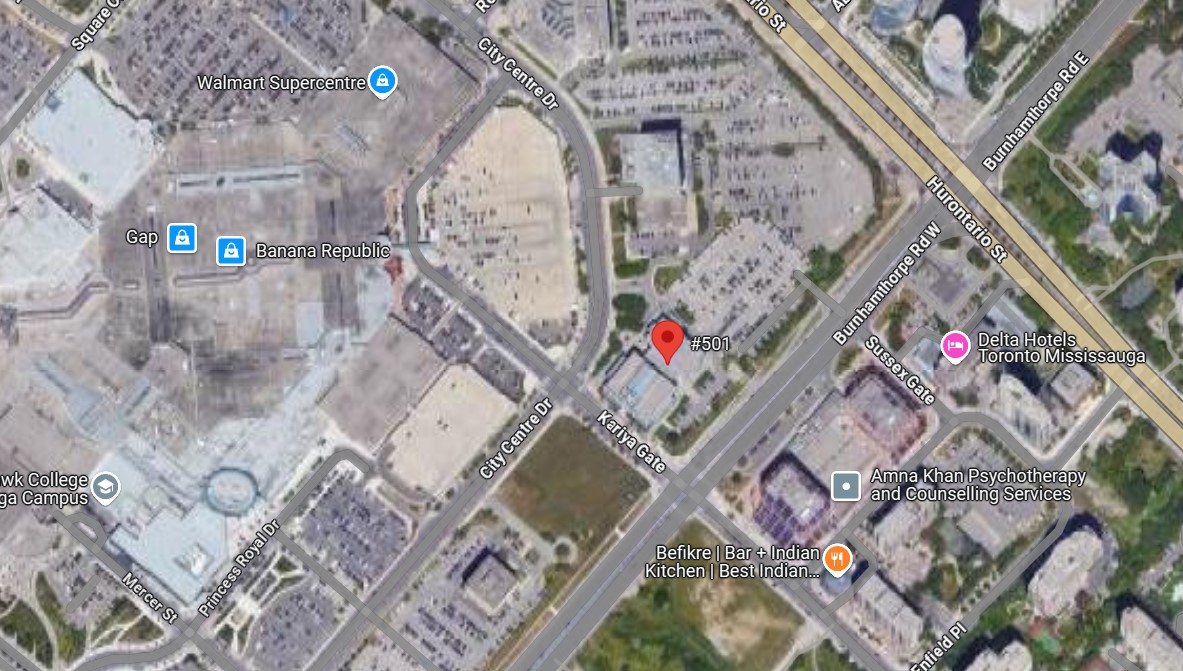
77 City Centre Drive, Suite 501, Mississauga, Ontario, L5B 1M5, Canada+1 (647) 983-4526 / +1 (647) 994-7251
info@altitudegeospatial.com
Ontario, Canada
