Altitude Geospatial Incorporated specializes in the LiDAR and Imaging Industry,
with more than 30 years of experience in Geomatics
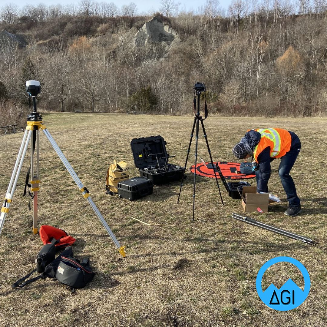

AGI is equipped to help users manage their projects, generate geospatial data capture programs with the highest efficiency, including data processing and analysis
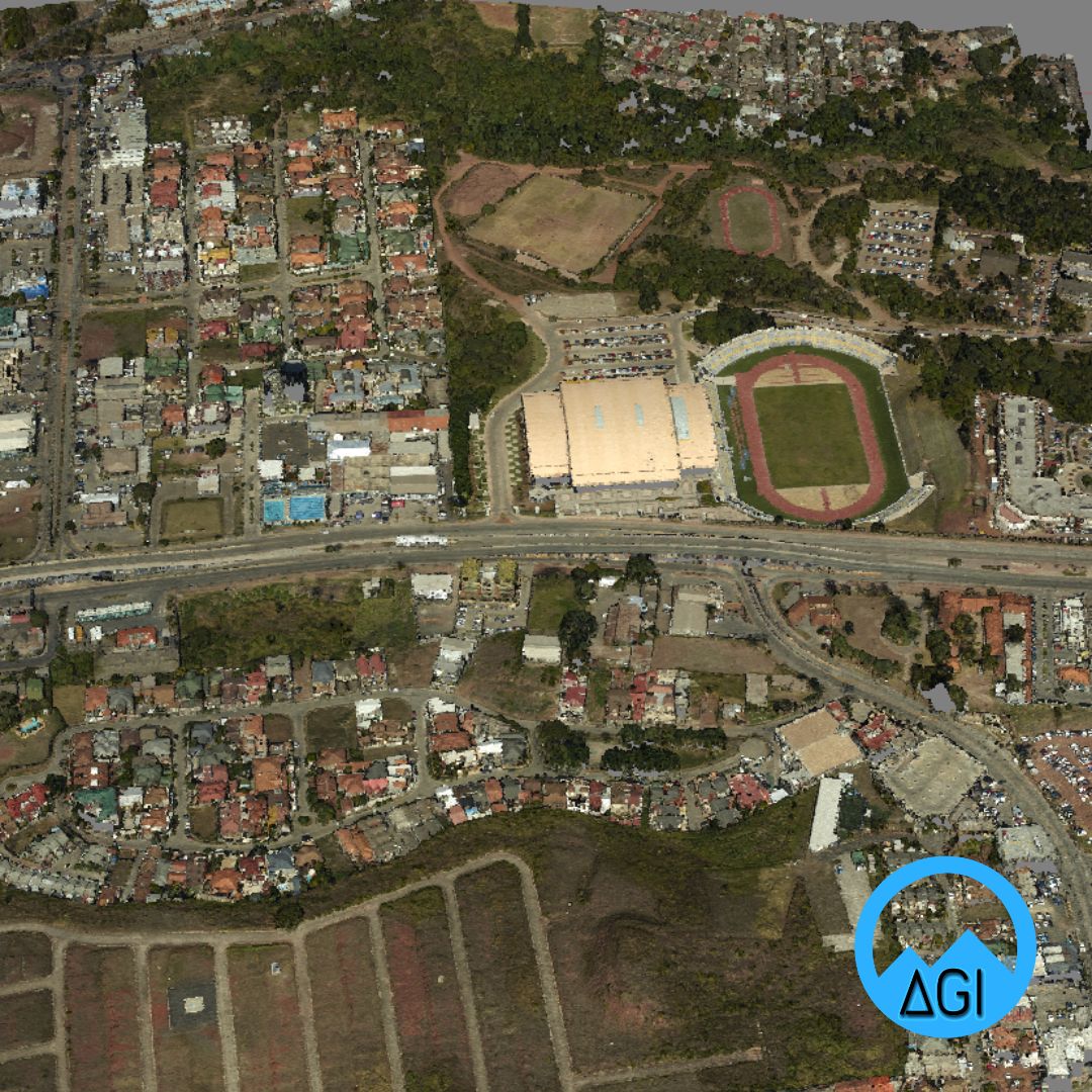
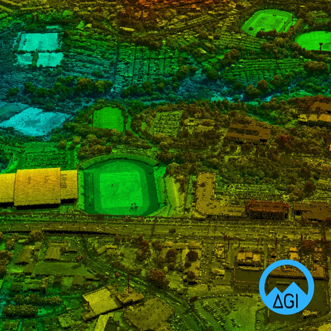
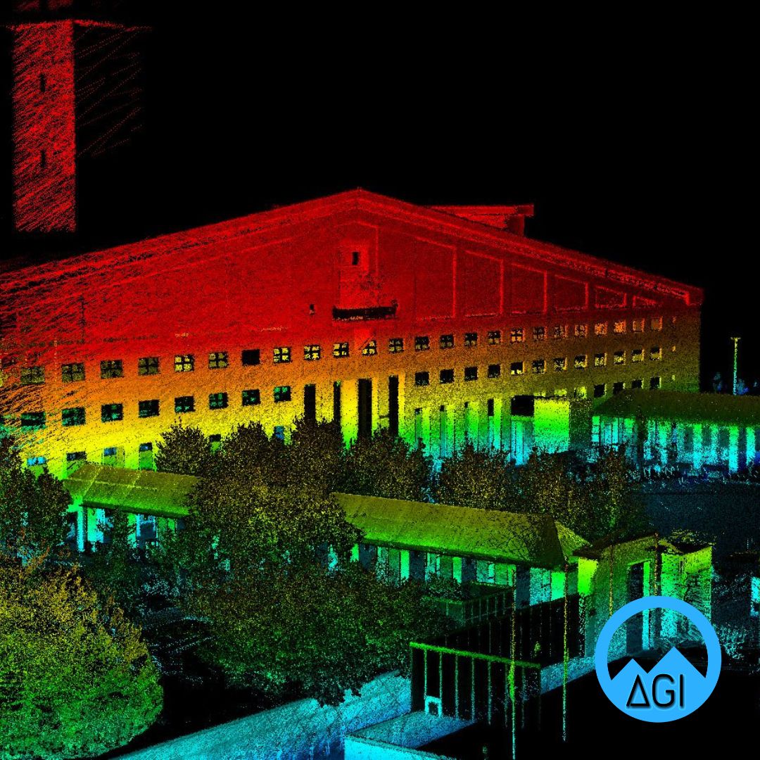
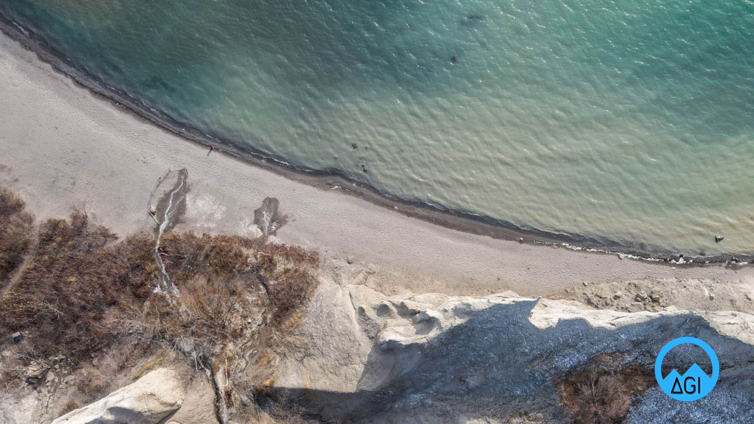
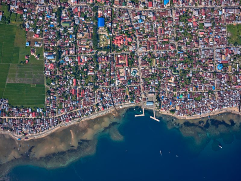
We offer you LIDAR, bathymetric, RGB, CIR, GPR or multispectral data acquisition services collected on any platform (terrestrial, mobile, UAV, airborne), cartographic digitization, integral digital cadastre package, geological and geomorphological interpretation, risk zone analysis, emergency monitoring, and more.
Our Services
Technical Support & Procurement
About us

Our Background
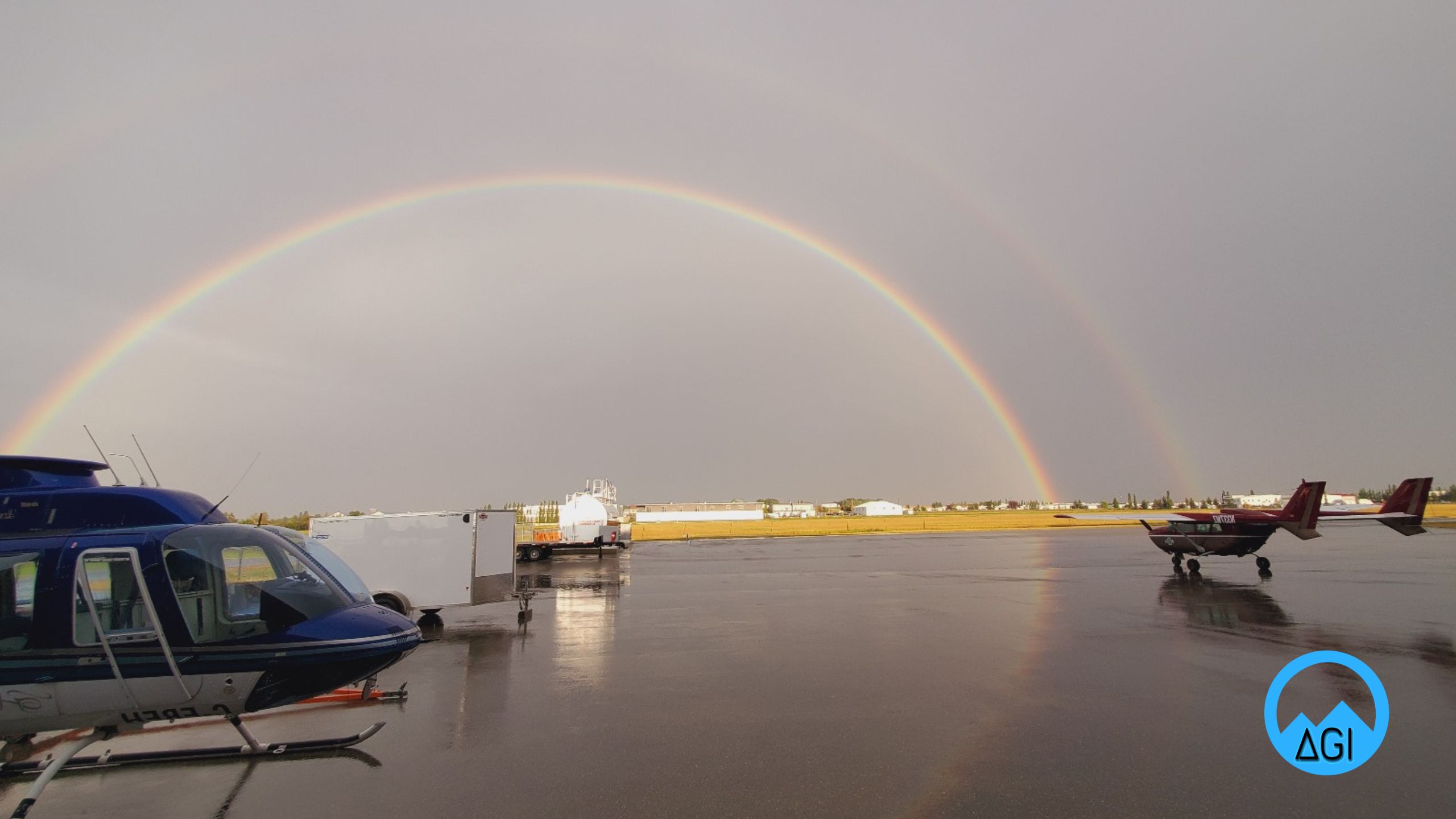
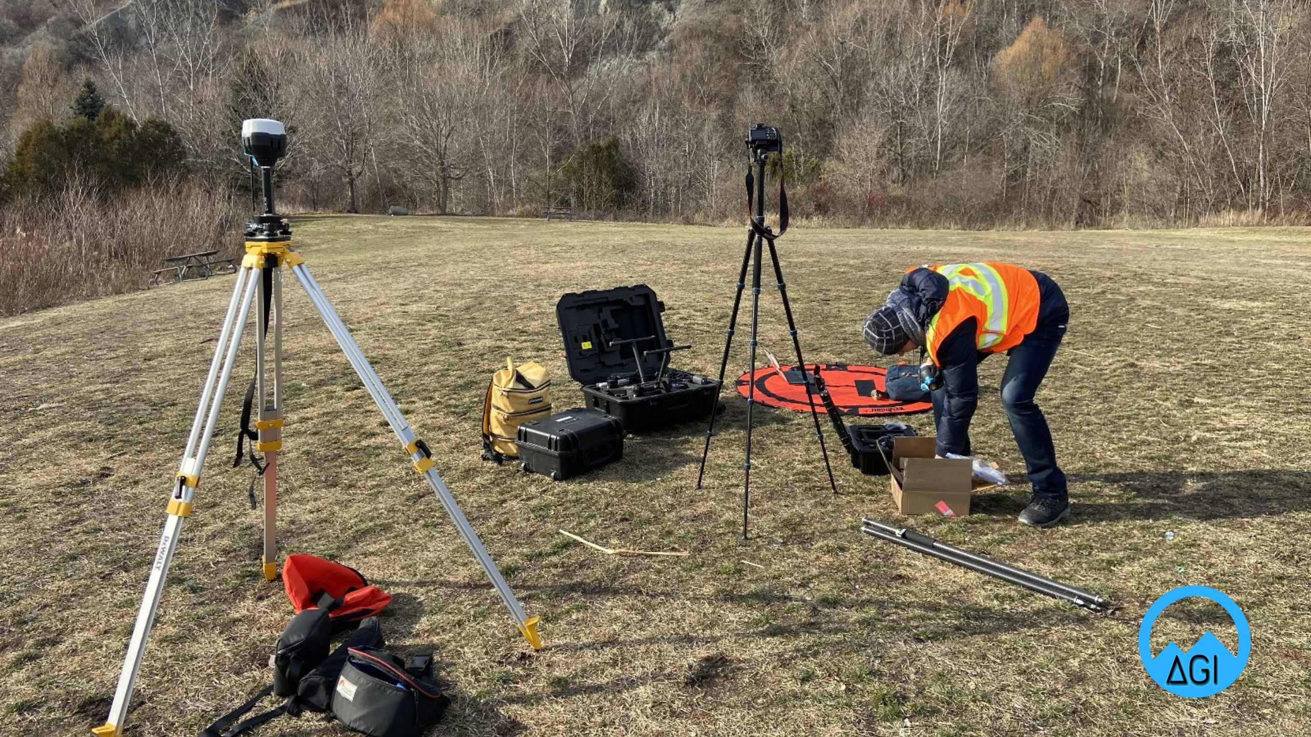
Founded in 2018, Altitude Geospatial Inc (AGI) is a Canadian owned consulting company and service provider that facilitates clients around the world. AGI was founded to fill the void between manufacturers and users of laser and imaging instruments. AGI provides a comprehensive solution for airborne, mobile, and terrestrial data collections, data processing services, technical services, sales, and consulting in the areas of Imaging, GNSS, Laser Scanners, UAS and Software.

Facilitates clients around the world
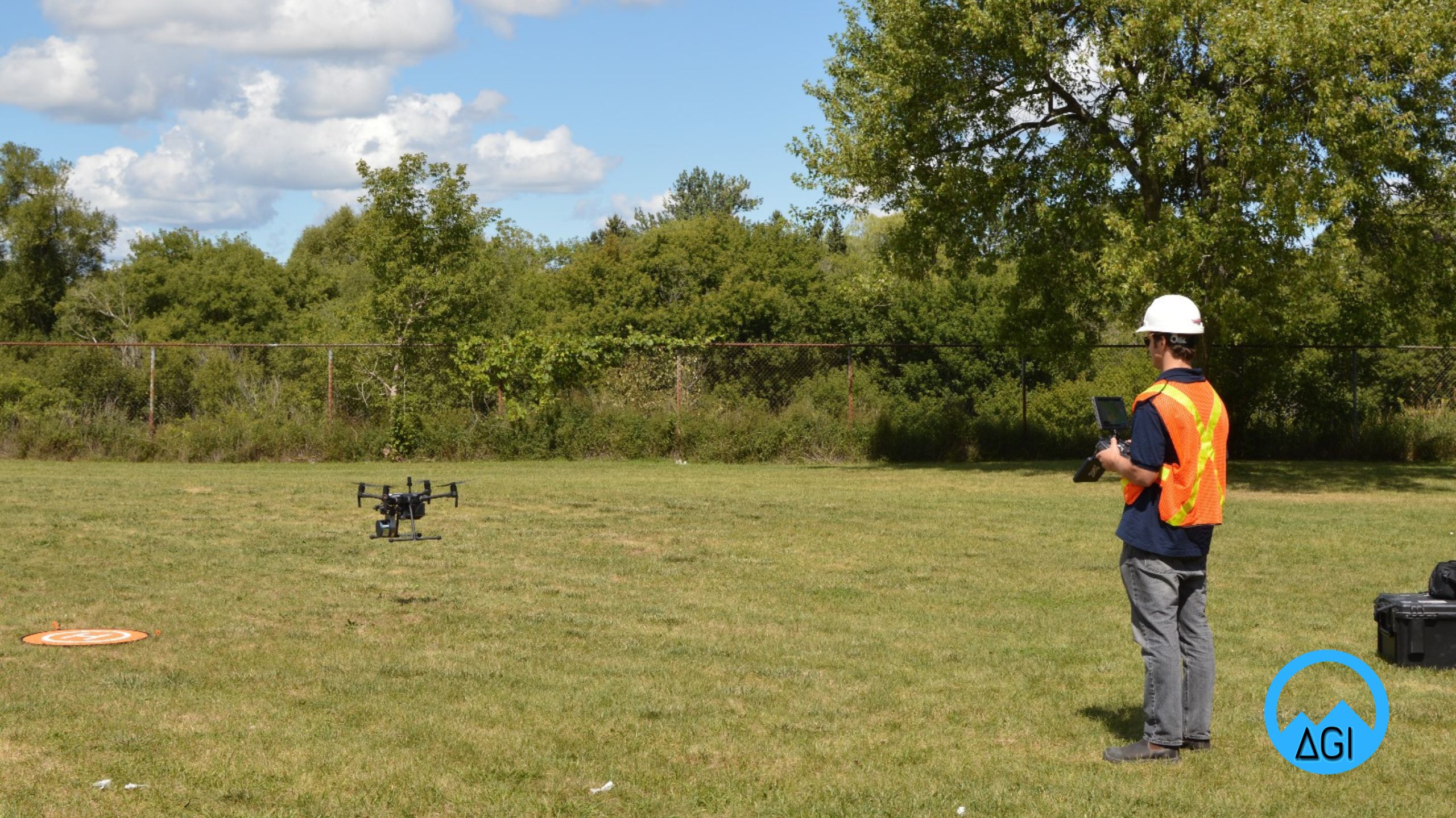
Altitude Geospatial Inc. is comprised of a team of project managers, registered land surveyors, Geomatics experts, system operators and data processors that are proficient in completing survey projects ranging from small corridor collections to large wide area projects (+10,000 kilometers squared in size) in a guaranteed time frame.
Altitude Geospatial Inc. has been working on LiDAR and photogrammetry projects in various countries around the world providing final deliverables for our clients with great success.
AGI Colombia
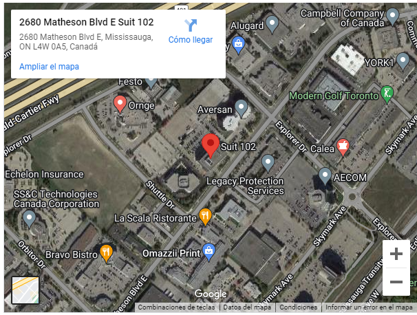
AGI has a presence in Latin America with offices in Bogota, Colombia

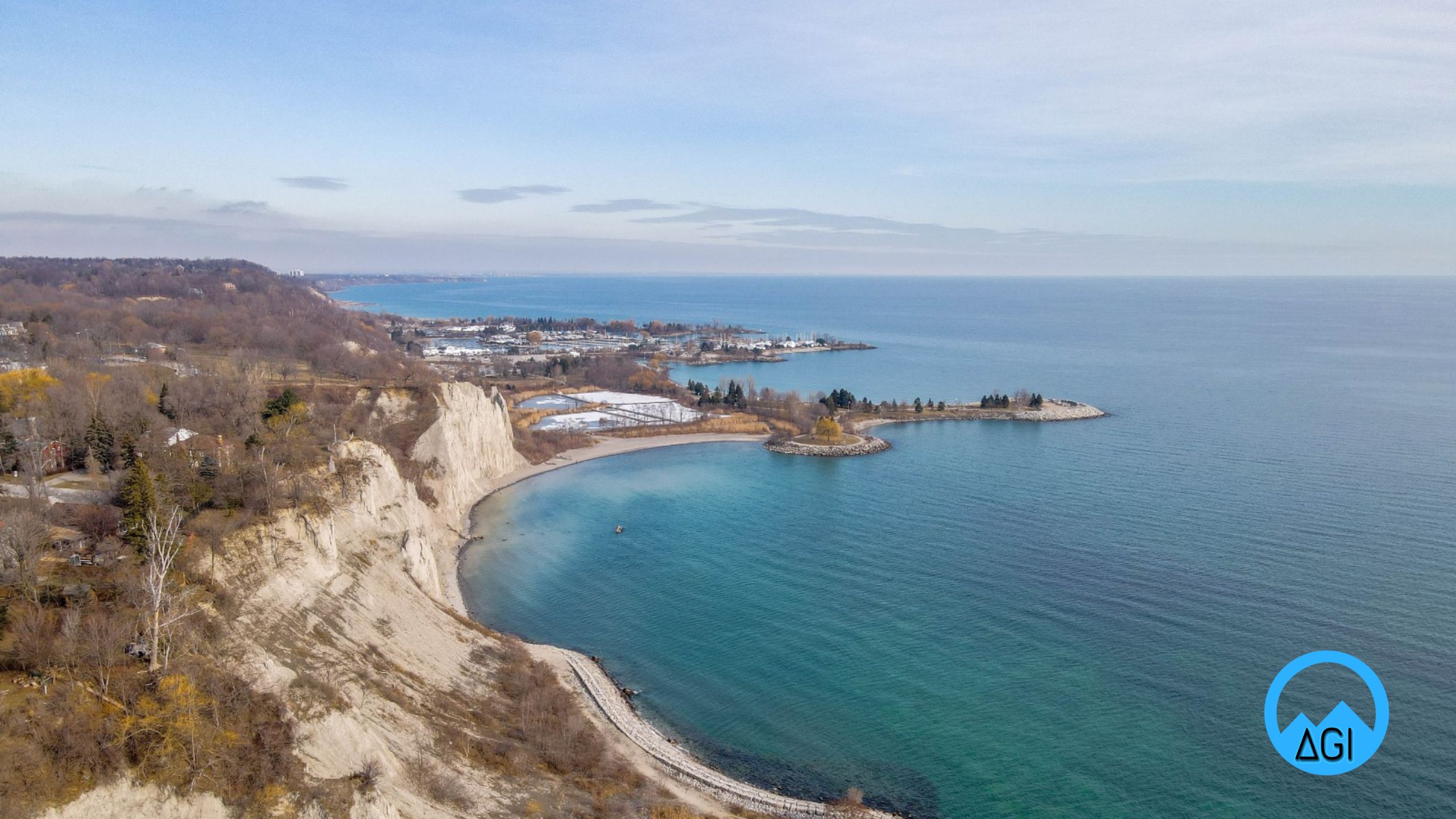
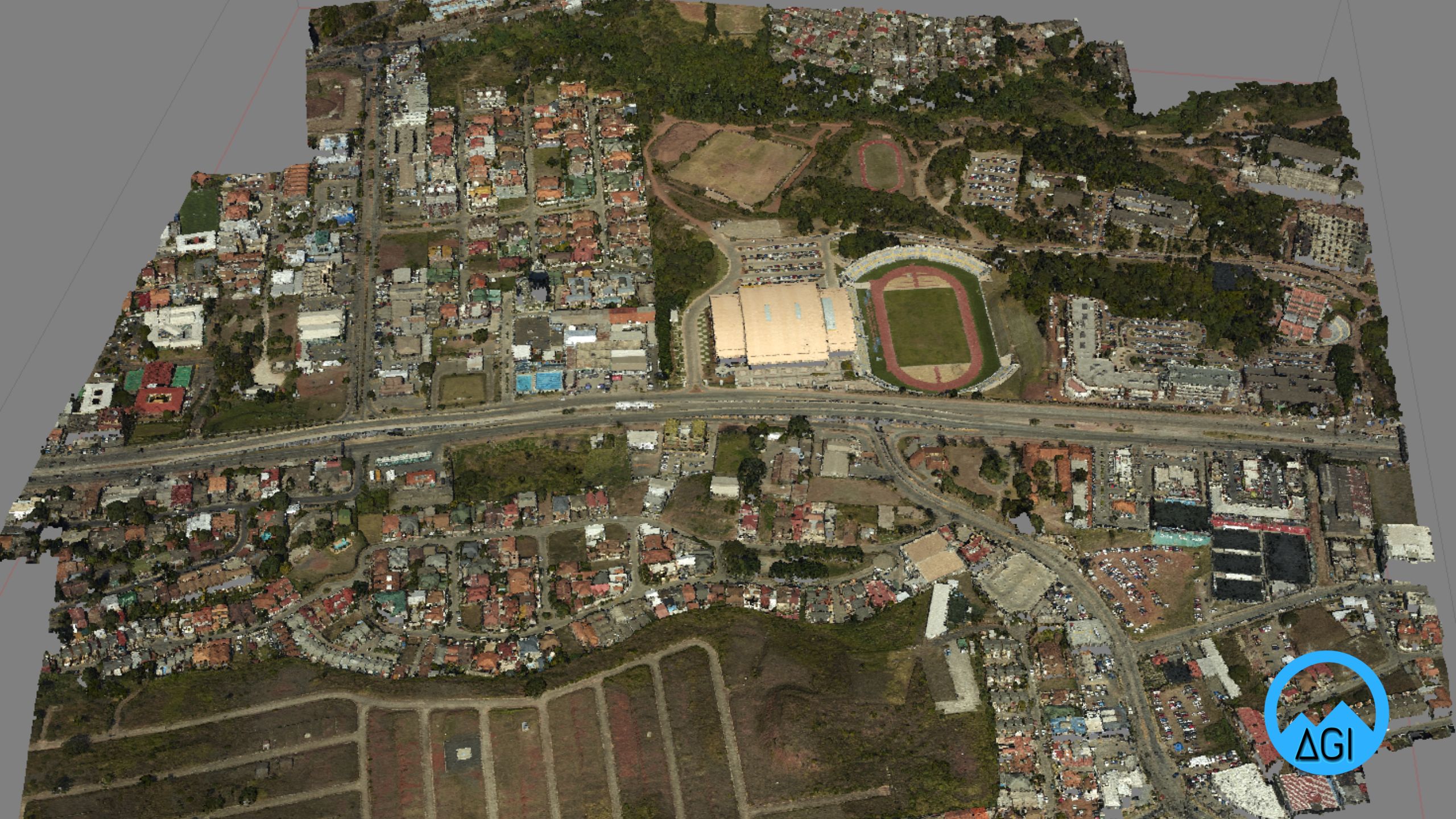
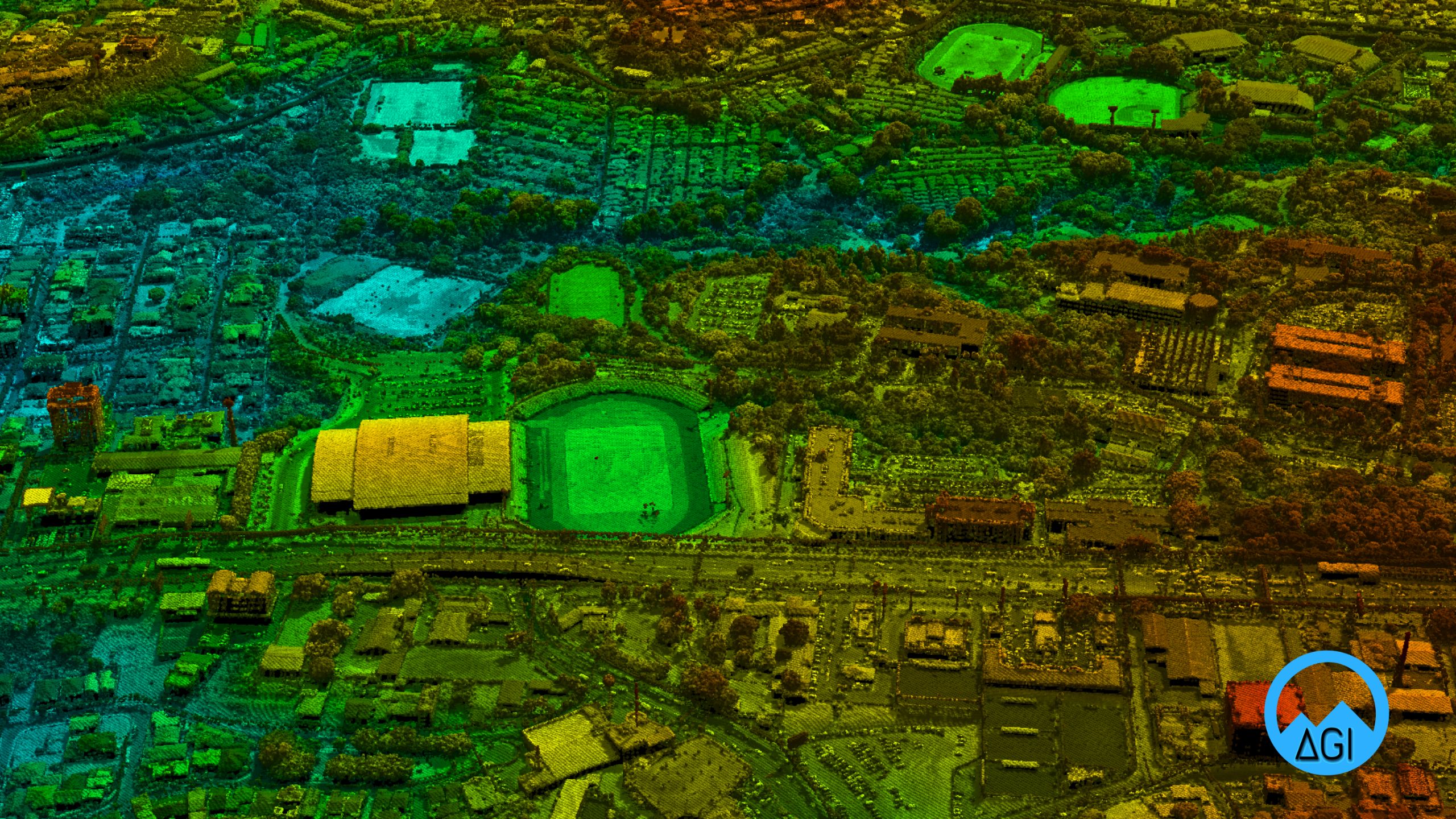
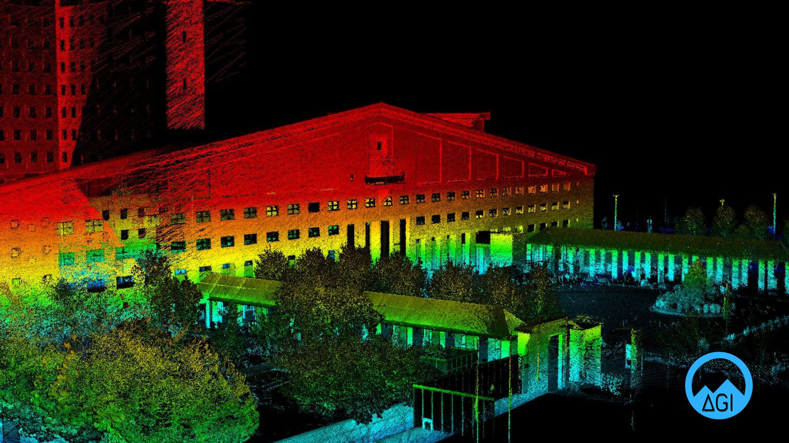
Altitude Geospatial Inc. Applications
Here are some of the engineering and remote sensing applications offered by Altitude Geospatial Inc. We can realize your projects to the highest level.


we are official dealer of


